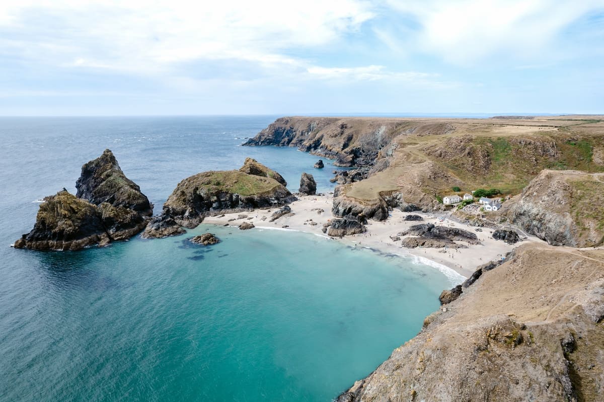
Distance from Looe to St Mawes
Looe to St Mawes is 47 miles (75 km) by road, about 1 hour 16 minutes in the car. As the crow flies it is 28 miles, with St Mawes south west of Looe.
47 mi
75 km by road
1 hr 16 min
By car, clear roads
28 mi
45 km in a straight line
A390, A3078
Main roads
Loading map…
Route and times from OpenStreetMap data, for clear roads. Summer traffic adds to them.
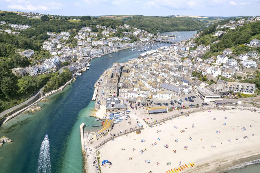 LooeRead the Looe guide →
- GPS (DMS)
- 50° 21′ 8.3″ N
4° 27′ 15.1″ W - Latitude
- 50.35230
- Longitude
- -4.45420
- Altitude
- 1 m
- Grid reference
- SX 255 531
- what3words
- ///Open in what3words
- Region
- South East Cornwall
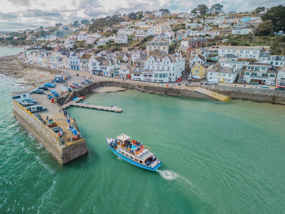 St MawesRead the St Mawes guide →
- GPS (DMS)
- 50° 9′ 31.0″ N
5° 0′ 53.3″ W - Latitude
- 50.15860
- Longitude
- -5.01480
- Altitude
- 5 m
- Grid reference
- SW 847 330
- what3words
- ///Open in what3words
- Region
- Central Cornwall
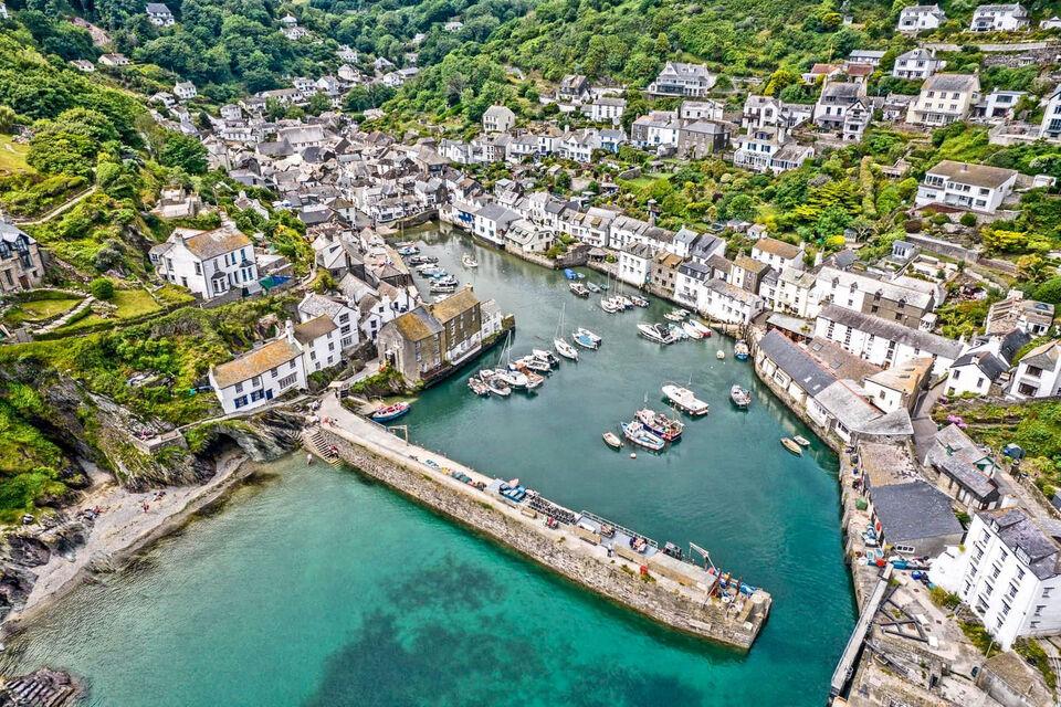
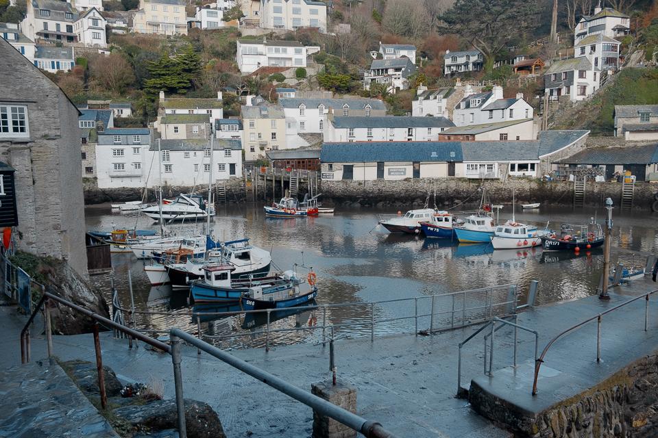
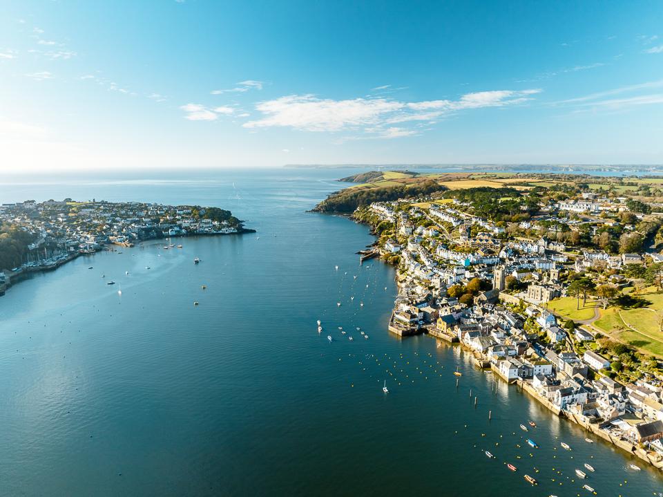
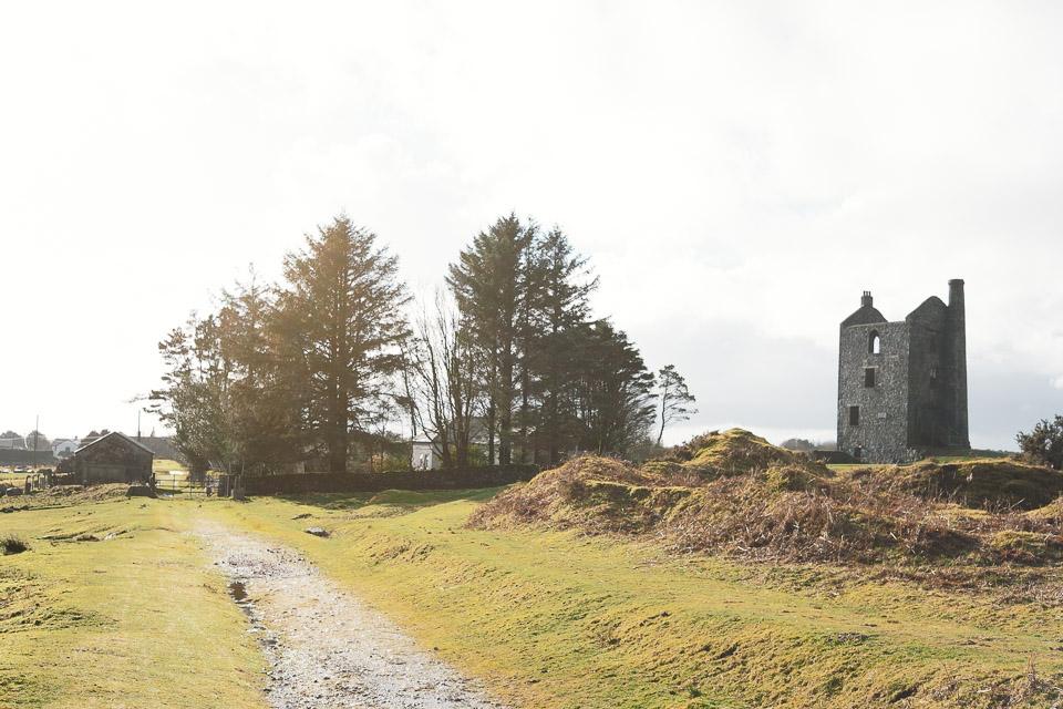
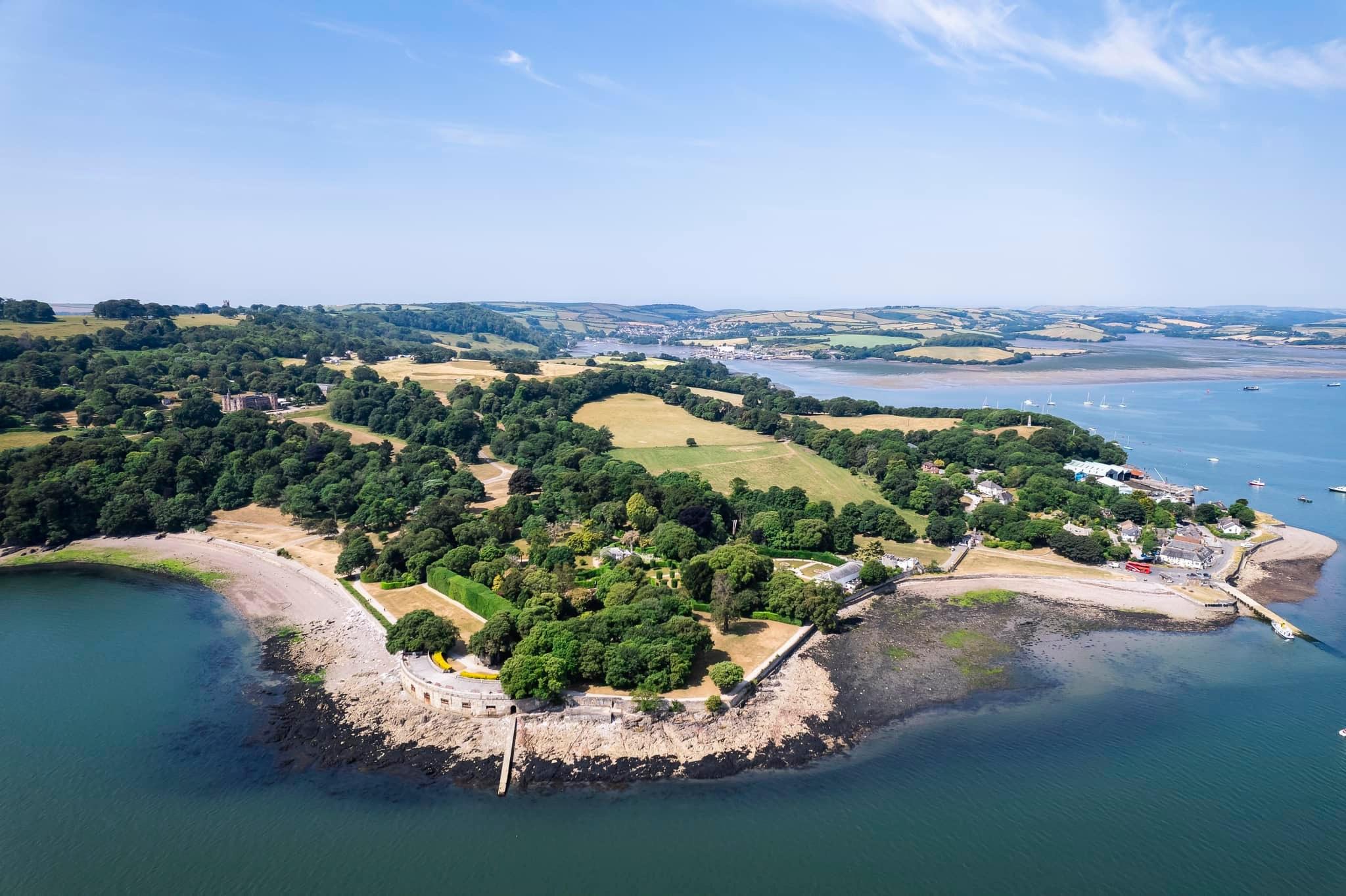
On the way
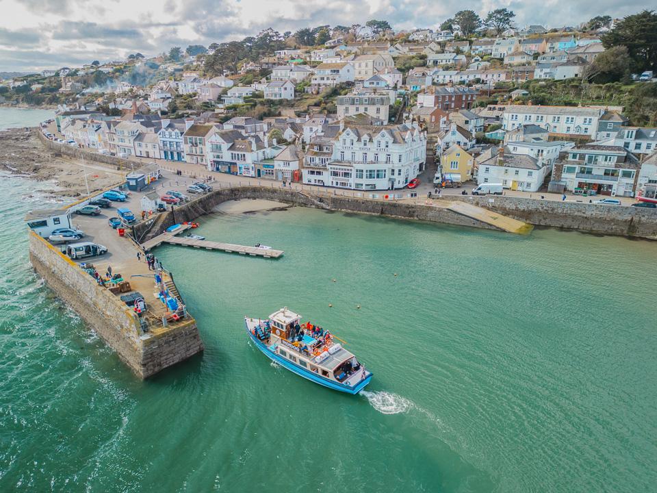
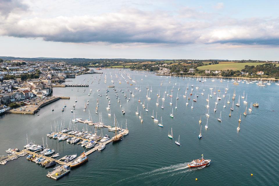
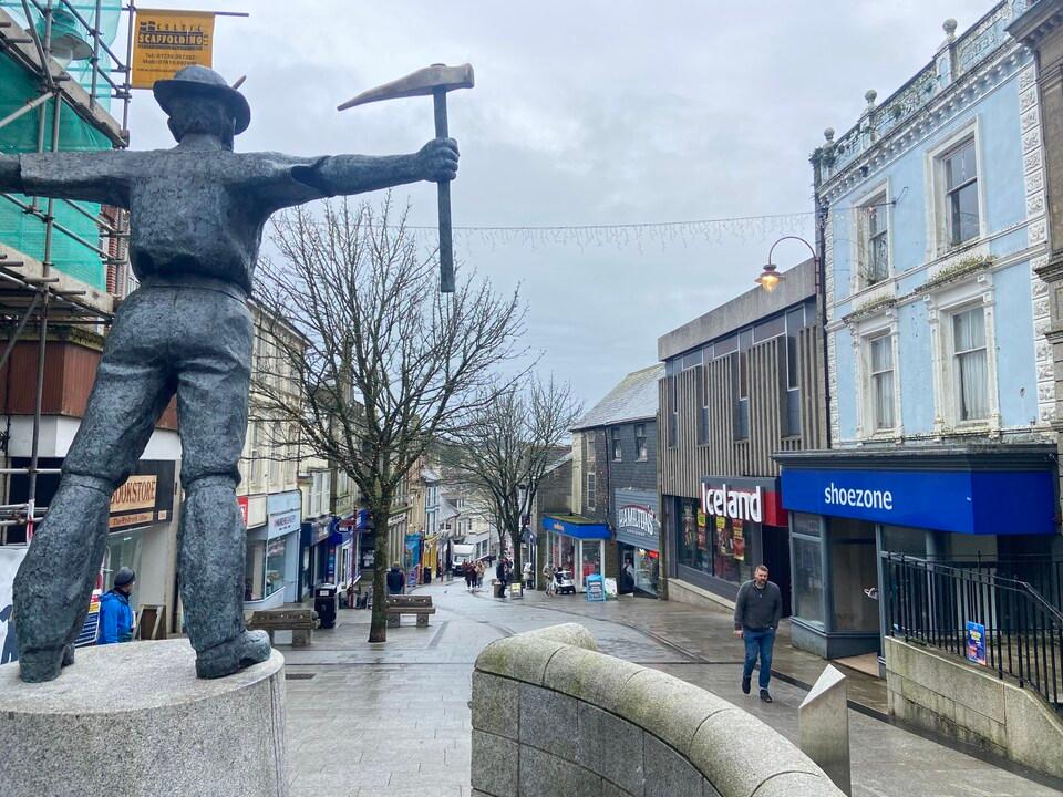
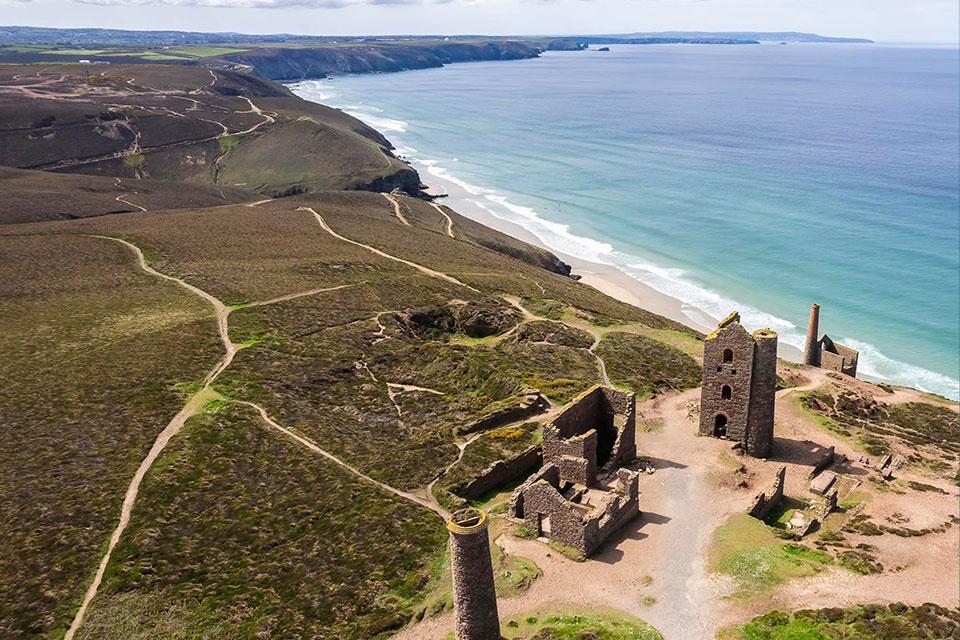
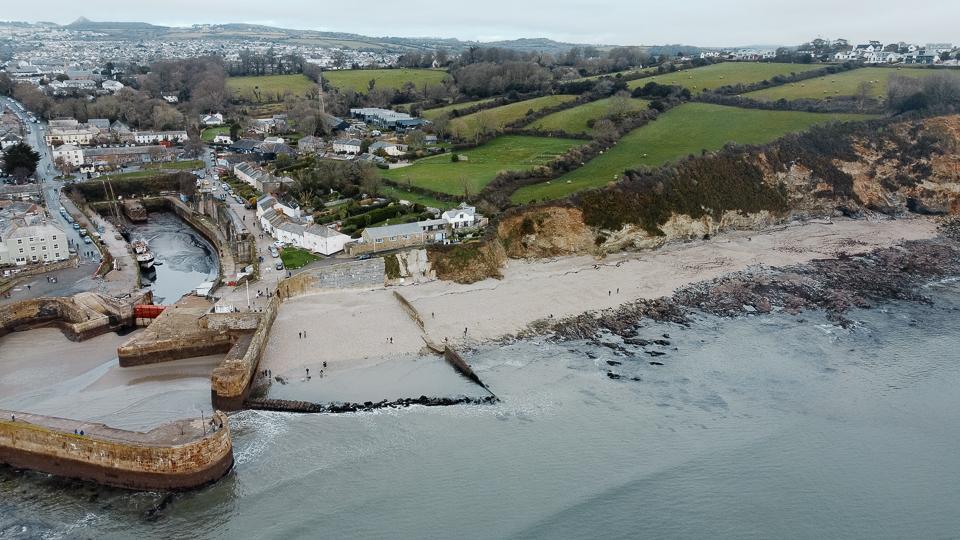
Along the route: Liskeard, Lostwithiel, Charlestown, St Austell.
Towns you pass
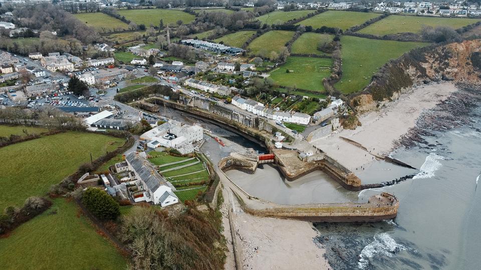
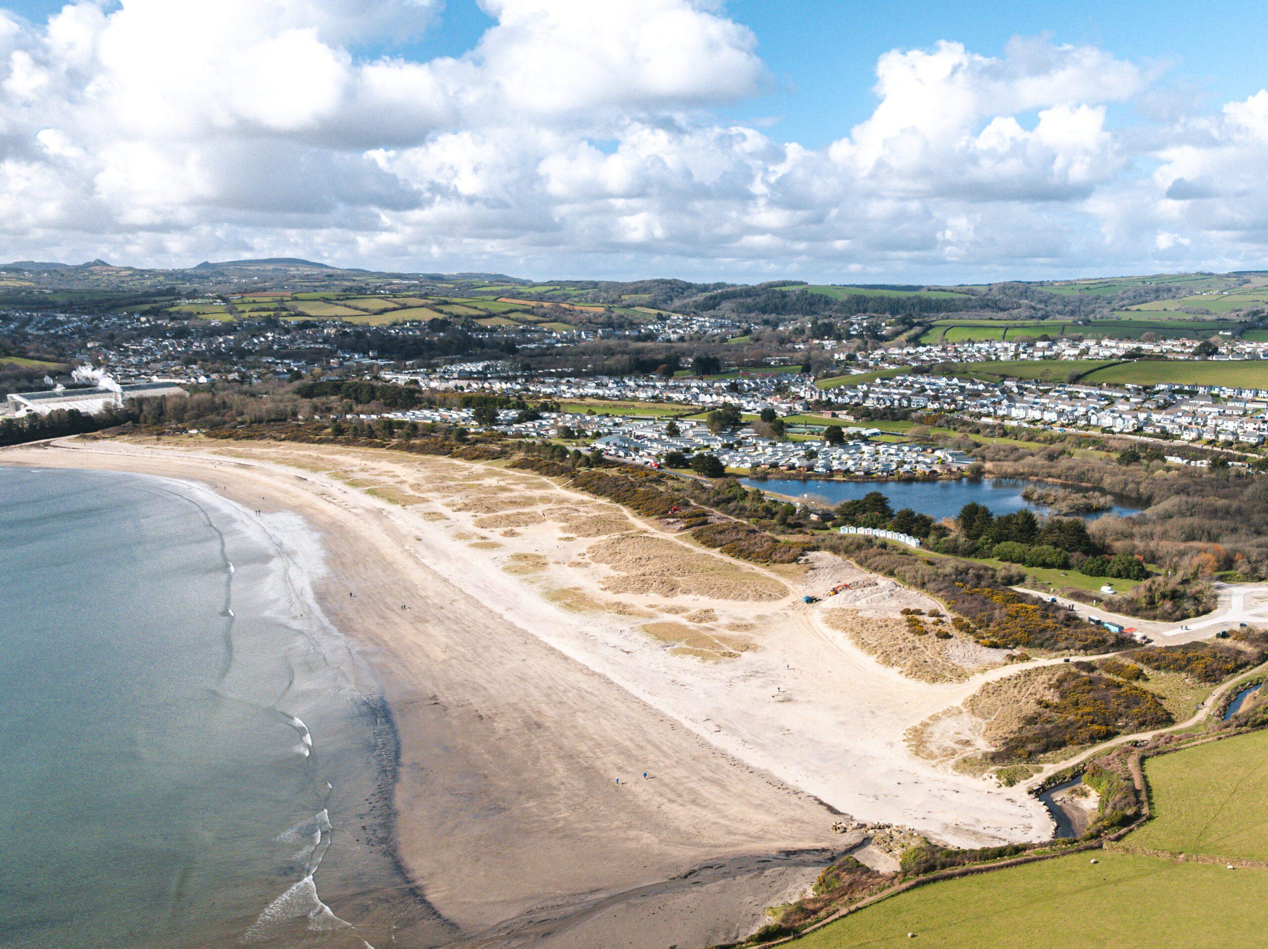
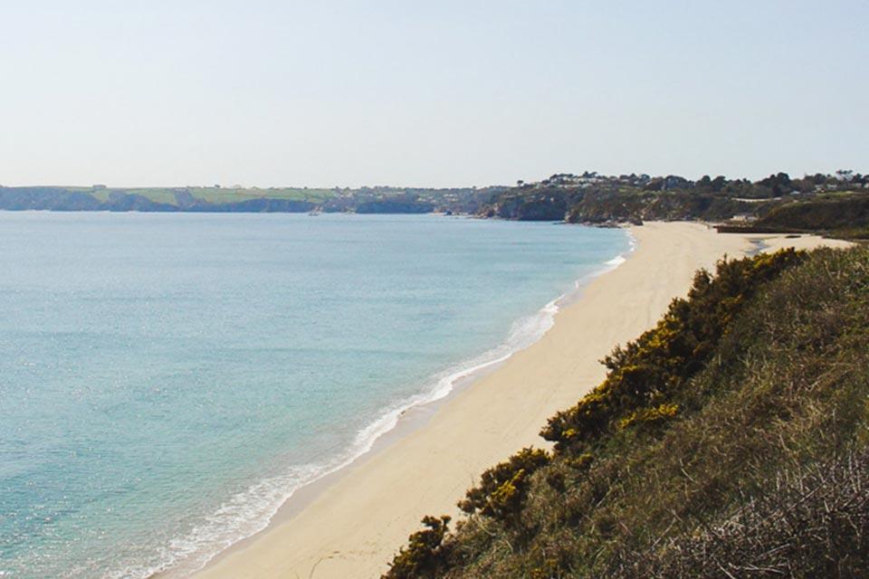
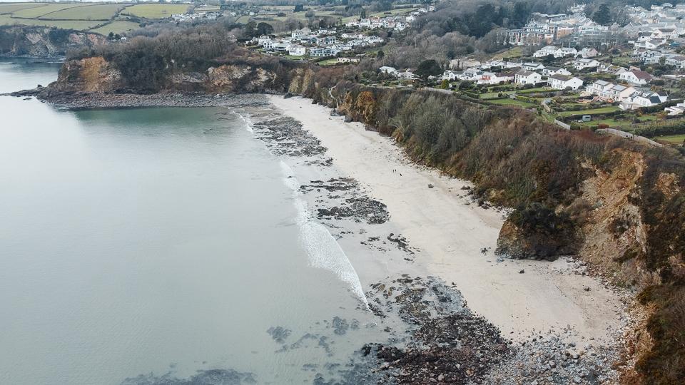
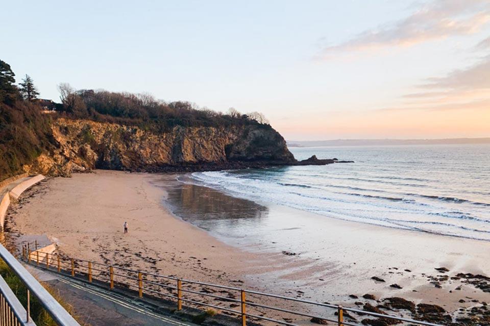
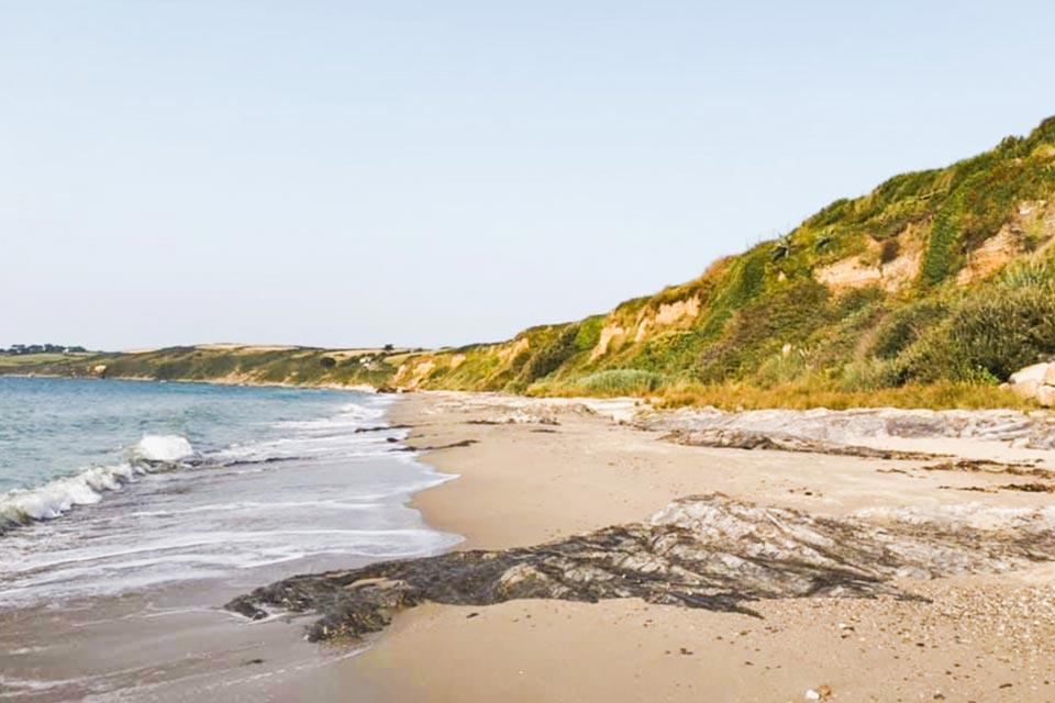
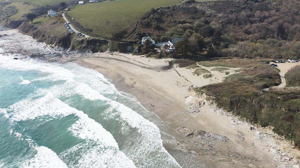
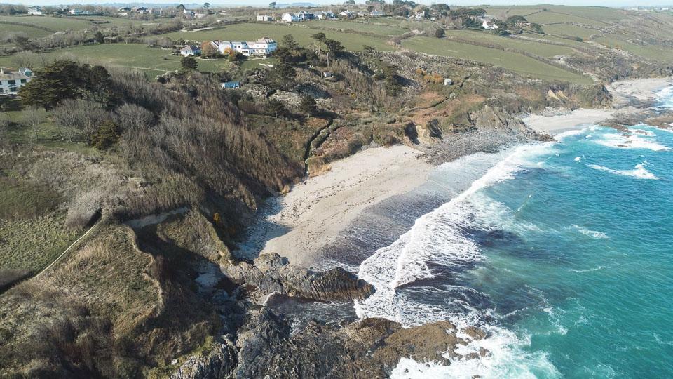
Beaches near the road
Looe to St Mawes: questions
How far is Looe from St Mawes?
47 miles (75 km) by road and 28 miles (45 km) in a straight line.
How long does it take to drive from Looe to St Mawes?
About 1 hour 16 minutes with clear roads, mostly on the A390 and A3078. Allow longer in July and August.
Is it the same distance from St Mawes to Looe?
Yes, 47 miles by road either way.
Frequently asked questions about Looe to St Mawes.
More on Looe
More on St Mawes
Town guideSt MawesRead the guide Beaches for St MawesEvery beach near St MawesOpen Tide times for St MawesHigh and low water, 7 daysOpen Weather for St MawesToday and the days aheadOpen Map for St MawesStreet, satellite and terrainOpen Things to do for St MawesWhat is near St MawesOpen Distances for St MawesMiles and drive timesOpen