Home›Distances›Marazion›Mevagissey
Distance from Marazion to Mevagissey
Marazion to Mevagissey is 42 miles (67 km) by road, about 1 hour 3 minutes in the car. As the crow flies it is 32 miles, with Mevagissey east of Marazion.
42 mi
67 km by road
1 hr 3 min
By car, clear roads
32 mi
52 km in a straight line
A30, A390
Main roads
Loading map…
Route and times from OpenStreetMap data, for clear roads. Summer traffic adds to them.
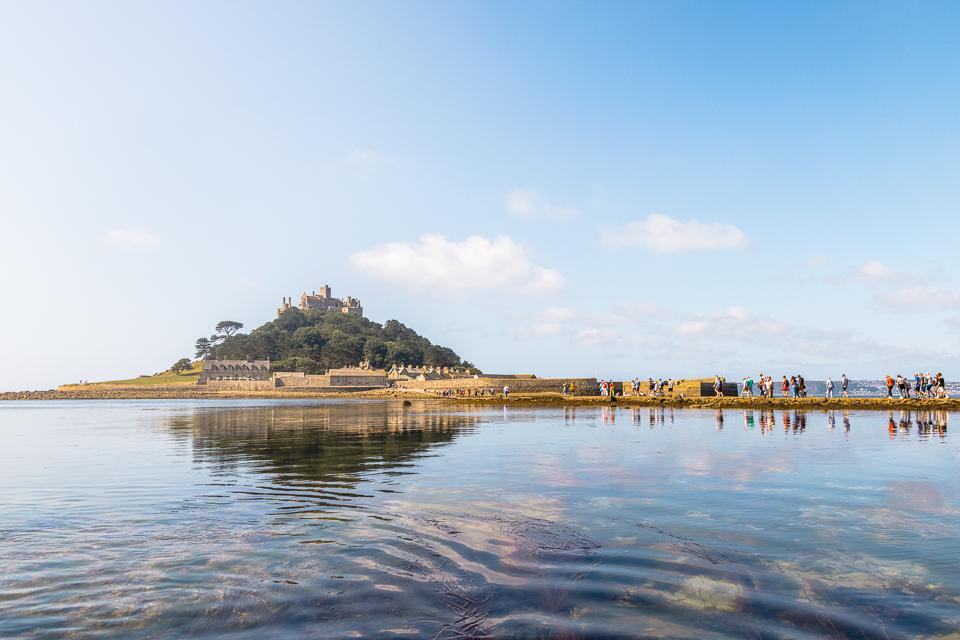 MarazionRead the Marazion guide →
- GPS (DMS)
- 50° 7′ 30.0″ N
5° 28′ 30.0″ W - Latitude
- 50.12500
- Longitude
- -5.47500
- Altitude
- 13 m
- Grid reference
- SW 517 307
- what3words
- ///Open in what3words
- Region
- West Cornwall
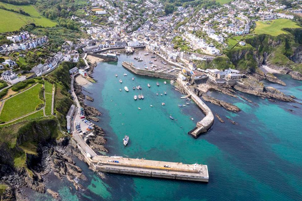 MevagisseyRead the Mevagissey guide →
- GPS (DMS)
- 50° 16′ 12.0″ N
4° 46′ 58.8″ W - Latitude
- 50.27000
- Longitude
- -4.78300
- Altitude
- Sea level
- Grid reference
- SX 017 448
- what3words
- ///Open in what3words
- Region
- South East Cornwall
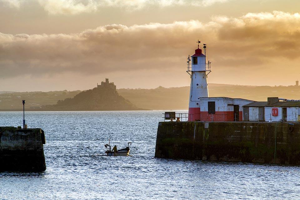
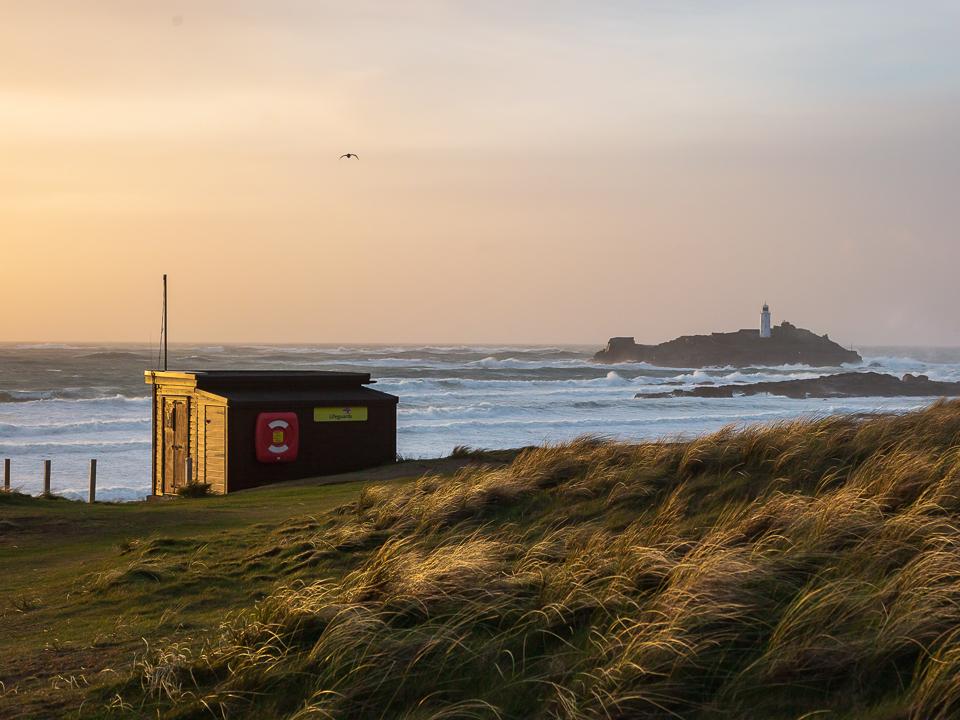
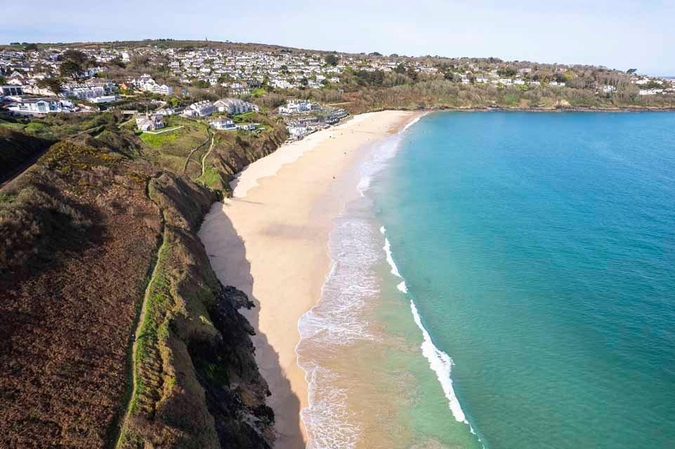
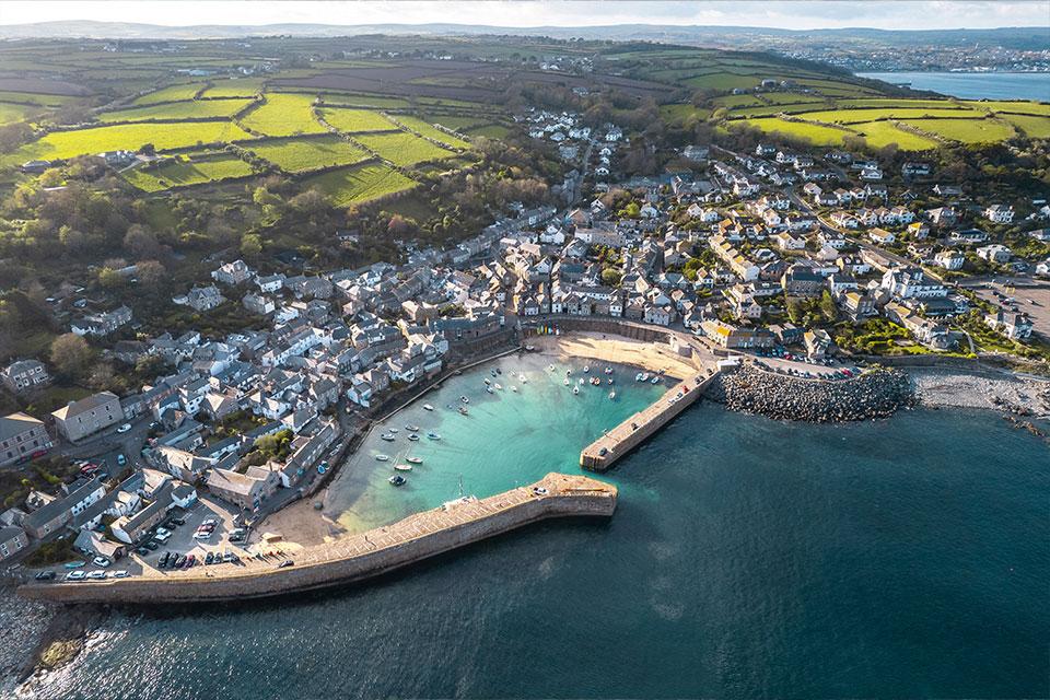
On the way
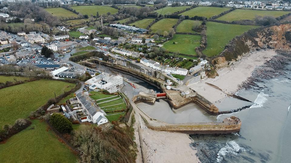
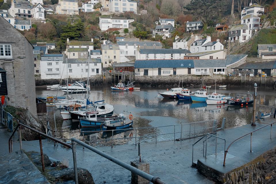
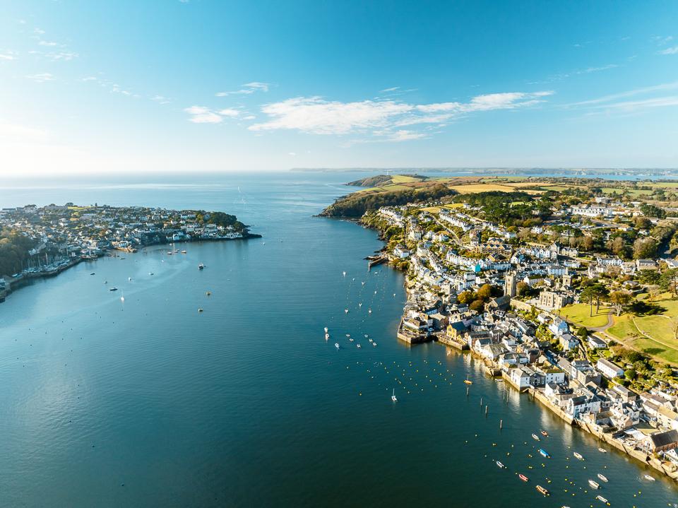
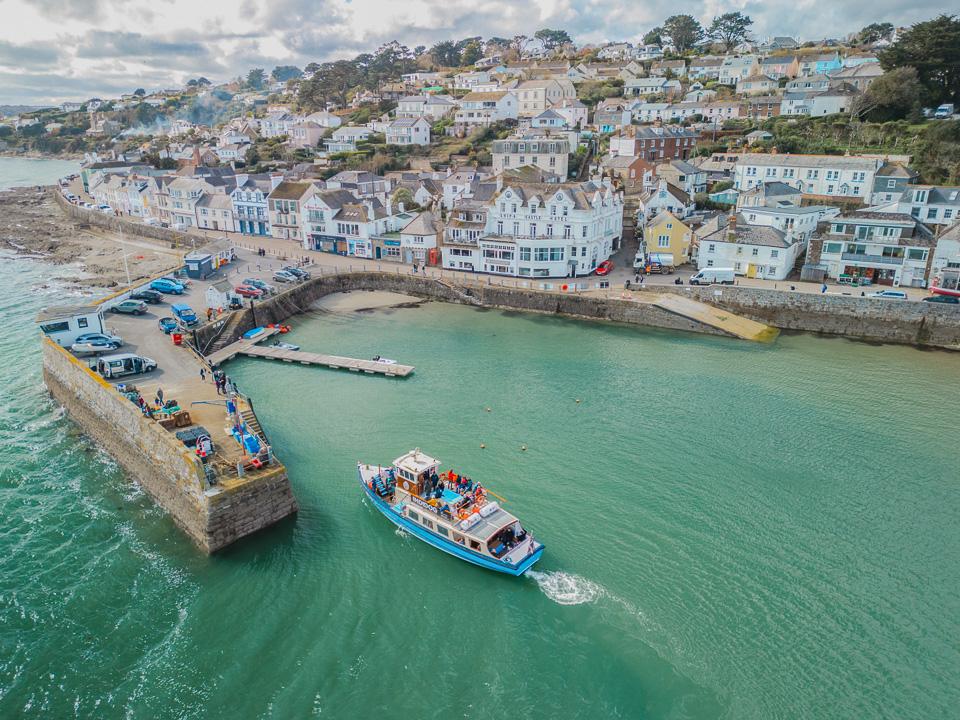
Along the route: Hayle, Camborne, Redruth, Truro.
Marazion to Mevagissey: questions
How far is Marazion from Mevagissey?
42 miles (67 km) by road and 32 miles (52 km) in a straight line.
How long does it take to drive from Marazion to Mevagissey?
About 1 hour 3 minutes with clear roads, mostly on the A30 and A390. Allow longer in July and August.
Is it the same distance from Mevagissey to Marazion?
Yes, 42 miles by road either way.
Frequently asked questions about Marazion to Mevagissey.
More on Marazion
Town guideMarazionGateway town to St Michael’s MountMarazion is an attractive destination for family holidays, offering a variety of water sports and obviously the picturesque St Michaels Mount.Read the guide Beaches for MarazionEvery beach near MarazionOpen Tide times for MarazionHigh and low water, 7 daysOpen Weather for MarazionToday and the days aheadOpen Map for MarazionStreet, satellite and terrainOpen Things to do for MarazionWhat is near MarazionOpen Distances for MarazionMiles and drive timesOpen More on Mevagissey
Town guideMevagisseyA thriving fishing village with harbourMevagissey is a hilly village with a beautiful harbour which was once the main place to go for pilchard fishing and still has that working harbour as it once did with a few dozen fishing boats left patrolling the sea.Read the guide Beaches for MevagisseyEvery beach near MevagisseyOpen Tide times for MevagisseyHigh and low water, 7 daysOpen Weather for MevagisseyToday and the days aheadOpen Map for MevagisseyStreet, satellite and terrainOpen Things to do for MevagisseyWhat is near MevagisseyOpen Distances for MevagisseyMiles and drive timesOpen