Home›Distances›Penzance›Porthleven
Distance from Penzance to Porthleven
Penzance to Porthleven is 12 miles (20 km) by road, about 22 minutes in the car. As the crow flies it is 10 miles, with Porthleven east of Penzance.
12 mi
20 km by road
22 min
By car, clear roads
10 mi
16 km in a straight line
A394
Main roads
Loading map…
Route and times from OpenStreetMap data, for clear roads. Summer traffic adds to them.
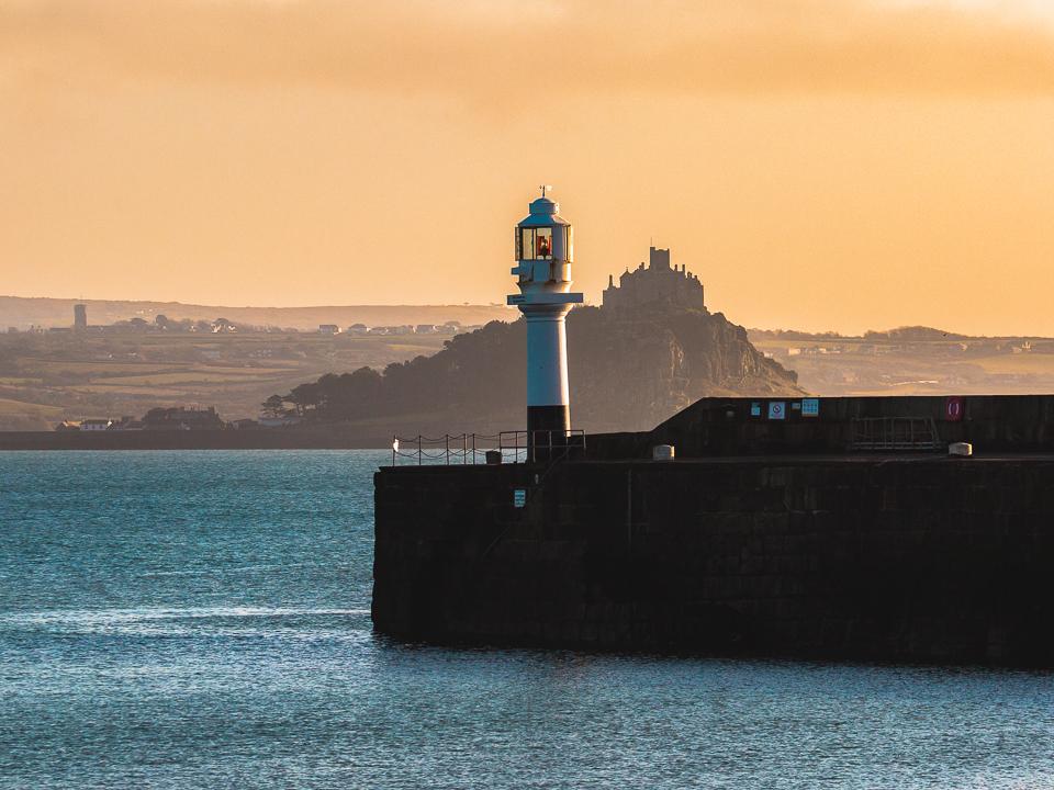 PenzanceRead the Penzance guide →
- GPS (DMS)
- 50° 7′ 8.4″ N
5° 32′ 13.2″ W - Latitude
- 50.11900
- Longitude
- -5.53700
- Altitude
- 34 m
- Grid reference
- SW 472 303
- what3words
- ///Open in what3words
- Region
- West Cornwall
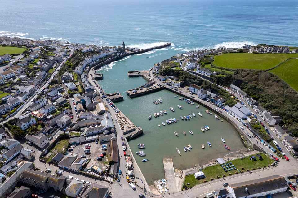 PorthlevenRead the Porthleven guide →
- GPS (DMS)
- 50° 5′ 6.0″ N
5° 19′ 1.2″ W - Latitude
- 50.08500
- Longitude
- -5.31700
- Altitude
- 9 m
- Grid reference
- SW 628 258
- what3words
- ///Open in what3words
- Region
- West Cornwall
On the way
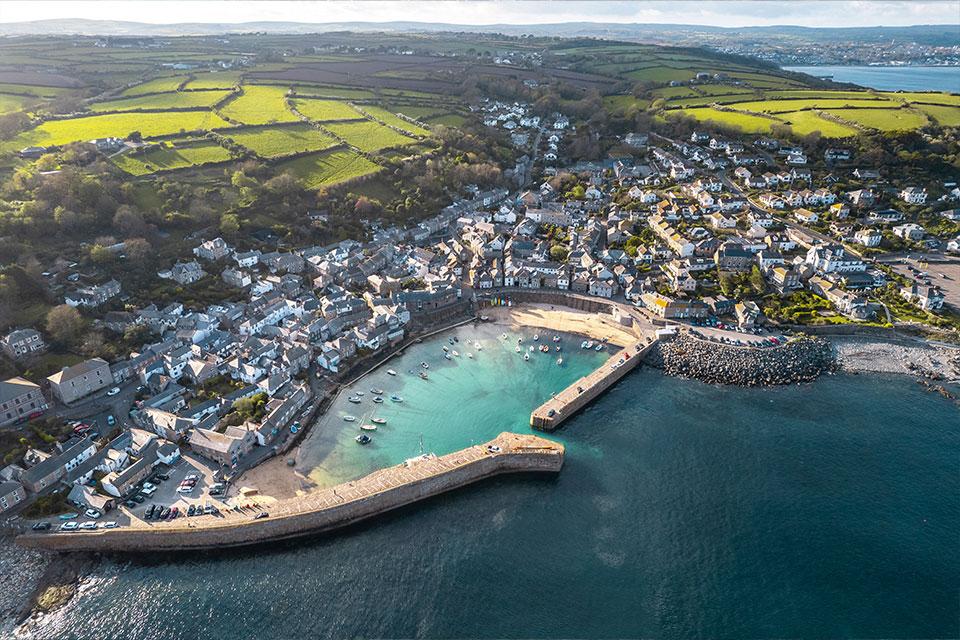
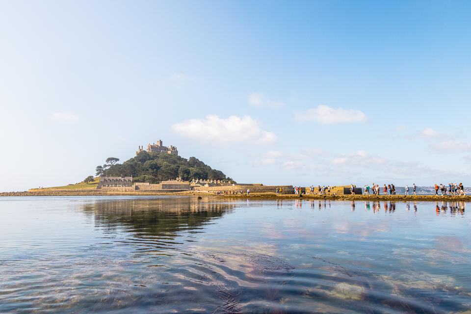
Along the route: Marazion.
Penzance to Porthleven: questions
How far is Penzance from Porthleven?
12 miles (20 km) by road and 10 miles (16 km) in a straight line.
How long does it take to drive from Penzance to Porthleven?
About 22 minutes with clear roads, mostly on the A394. Allow longer in July and August.
Is it the same distance from Porthleven to Penzance?
Yes, 12 miles by road either way.
Frequently asked questions about Penzance to Porthleven.
More on Penzance
Town guidePenzanceA sunlit town along Mount’s BayPenzance is a thriving town packed with local shops for everything you need, from our favourite Cornish pasty to small homeware shops.Read the guide Beaches for PenzanceEvery beach near PenzanceOpen Tide times for PenzanceHigh and low water, 7 daysOpen Weather for PenzanceToday and the days aheadOpen Map for PenzanceStreet, satellite and terrainOpen Things to do for PenzanceWhat is near PenzanceOpen Distances for PenzanceMiles and drive timesOpen More on Porthleven
Town guidePorthlevenWorking harbour with a foodie soulPorthleven is a small town in Cornwall, England.Read the guide Beaches for PorthlevenEvery beach near PorthlevenOpen Tide times for PorthlevenHigh and low water, 7 daysOpen Weather for PorthlevenToday and the days aheadOpen Map for PorthlevenStreet, satellite and terrainOpen Things to do for PorthlevenWhat is near PorthlevenOpen Distances for PorthlevenMiles and drive timesOpen