196 places
Everything on the map (196)
- Bodmin Town MuseumHistoric sites and culture · 0.2 mi
- St Guron's WellHistoric sites and culture · 0.3 mi
- St Petroc's Church, BodminHistoric sites and culture · 0.3 mi
- Discovering42Historic sites and culture · 0.4 mi
- Duke of Cornwall's Light Infantry MuseumHistoric sites and culture · 0.6 mi
- Bodmin KeepHistoric sites and culture · 0.6 mi
- Scarlett's WellHistoric sites and culture · 0.8 mi
- LanhydrockHistoric sites and culture · 2.1 mi
- Cardinham WoodsCoast and countryside · 2.8 mi
- Helman TorPanoramic views · 3.4 mi
- St Protus and St Hyacinth Church, BlislandHistoric sites and culture · 4.3 mi
- Camel TrailCoast and countryside · 4.8 mi
Showing 12 of 196 places
Where is Bodmin?
Bodmin is in North Cornwall, on the north coast, 10 miles north of St Austell and 11 miles south east of Padstow. The nearest railway station is Lostwithiel, 5 miles away.
Distance from
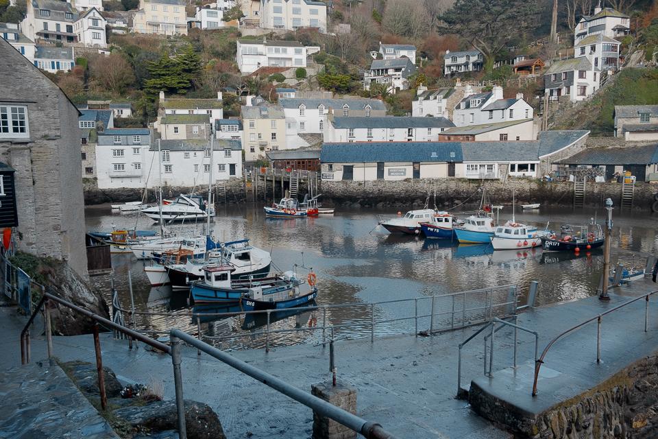 St Austell10 miles south
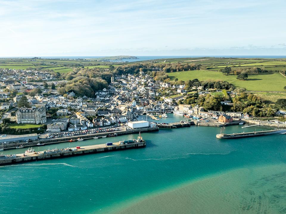 Padstow11 miles north west
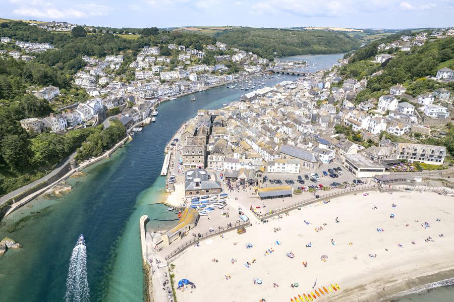 Looe14 miles south east
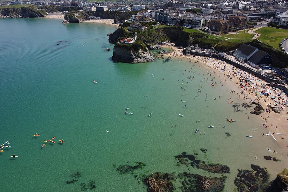 Newquay16 miles west
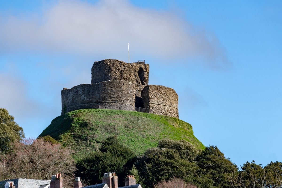 Launceston20 miles north east
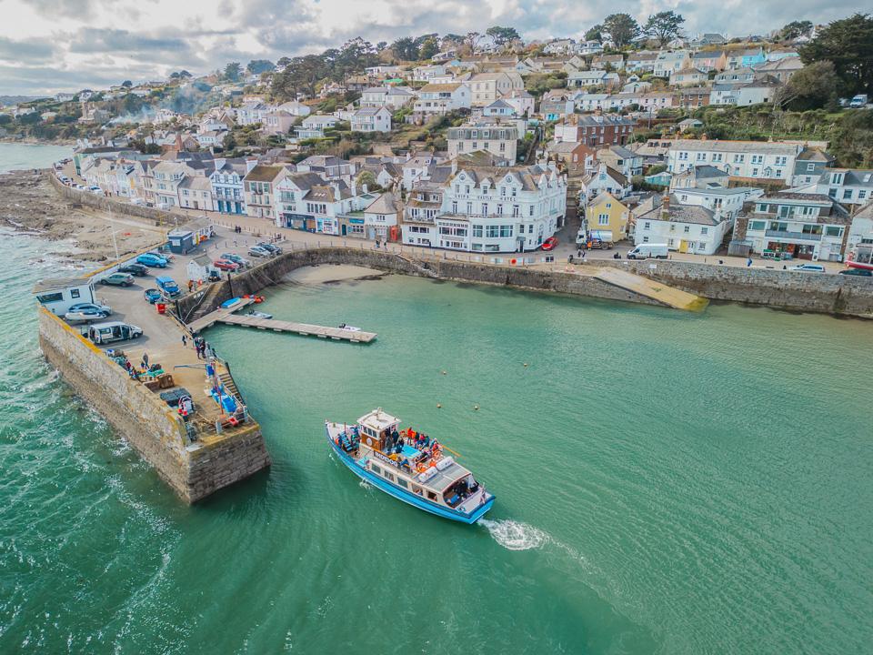 Truro20 miles south west
As the crow flies. Roads add a little.
Bodmin at a glance
- Region
- North Cornwall
- Coast
- North Coast
- Grid reference
- SX 067 670
- Coordinates
- 50.4710, -4.7240
- what3words
- ///Open in what3words
- Nearest station
- Lostwithiel, 5 miles
- Nearest beach
- Par Sands Beach, 9 miles
Questions about getting around Bodmin
Where is Bodmin?
Bodmin is in North Cornwall, on the north coast, 10 miles north of St Austell and 11 miles south east of Padstow.
How far is Bodmin from St Austell?
About 10 miles as the crow flies, north of St Austell. By road it is a little further.
How far is Bodmin from Truro?
About 20 miles as the crow flies, north east of Truro, Cornwall's only city.
What is the nearest train station to Bodmin?
The nearest railway station is Lostwithiel, 5 miles away.
What is the nearest beach to Bodmin?
Par Sands Beach, 9 miles away. Carlyon Bay Beach is 9 miles away.
What is the grid reference for Bodmin?
SX 067 670 on the Ordnance Survey National Grid. In latitude and longitude it is 50.4710, -4.7240.
Frequently asked questions about Bodmin.
More about Bodmin
More on Bodmin
 Town guideBodminAn inland town shaped by governanceBodmin is the former county town of Cornwall is not short of history.Read the guide Beaches for BodminEvery beach near BodminOpen Weather for BodminToday and the days aheadOpen Things to do for BodminWhat is near BodminOpen Distances for BodminMiles and drive timesOpen