229 places
Loading map…
Everything on the map (229)
- St Ia Church, St IvesHistoric sites and culture · 0.1 mi
- Porthminster BeachBeaches · 0.1 mi
- Barbara Hepworth MuseumHistoric sites and culture · 0.1 mi
- St Ives HarbourHistoric sites and culture · 0.2 mi
- St Ives Harbour BeachBeaches · 0.3 mi
- Porthmeor BeachBeaches · 0.3 mi
- Bamaluz BeachBeaches · 0.4 mi
- St Ives MuseumHistoric sites and culture · 0.4 mi
- Porthgwidden BeachBeaches · 0.4 mi
- Tregenna CastleHistoric sites and culture · 0.5 mi
- St Nicholas ChapelHistoric sites and culture · 0.5 mi
- St Ives HeadPanoramic views · 0.5 mi
Showing 12 of 229 places
Where is St Ives?
St Ives is in West Cornwall, 7 miles north of Penzance and 12 miles north west of Helston. St Ives has its own railway station.
Distance from
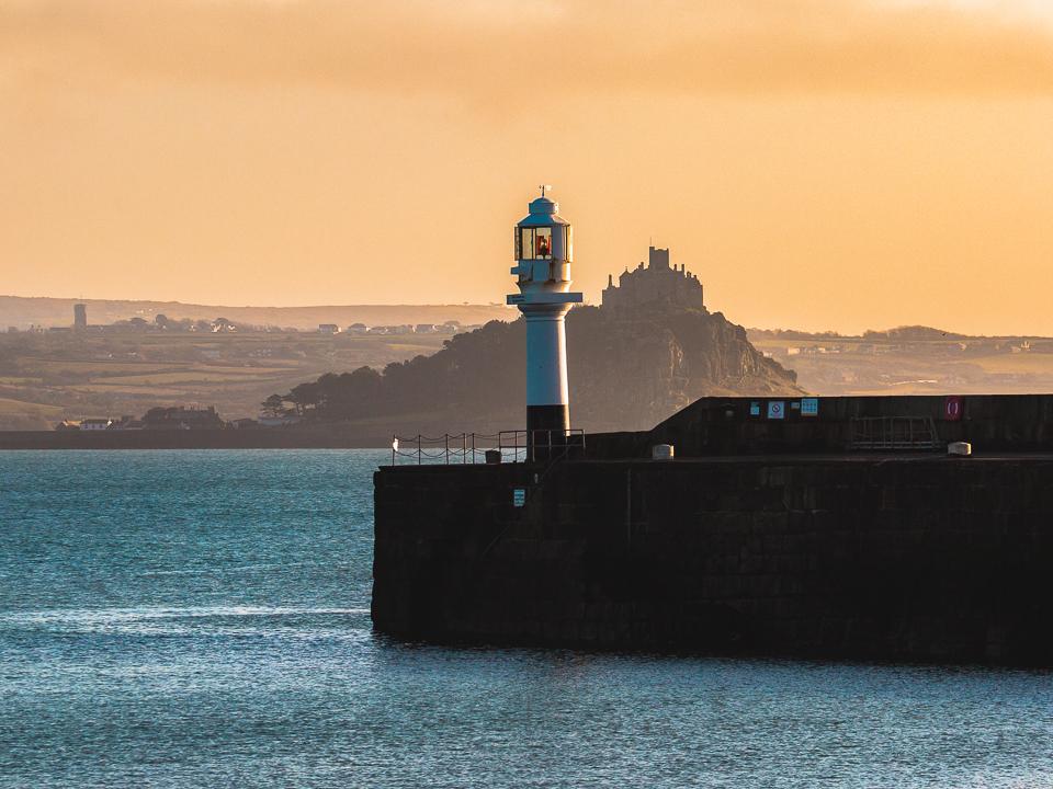 Penzance7 miles south
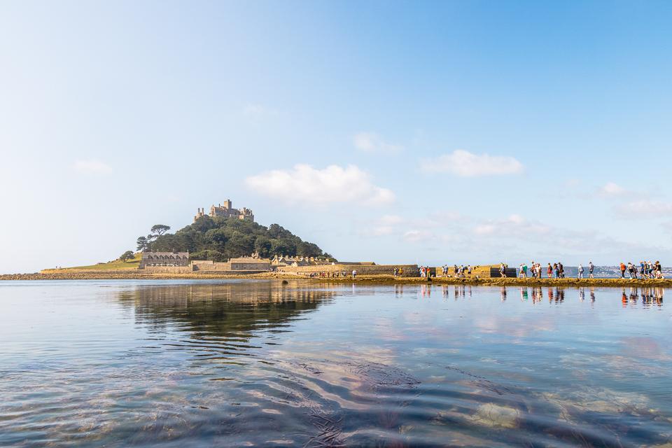 Helston12 miles south east
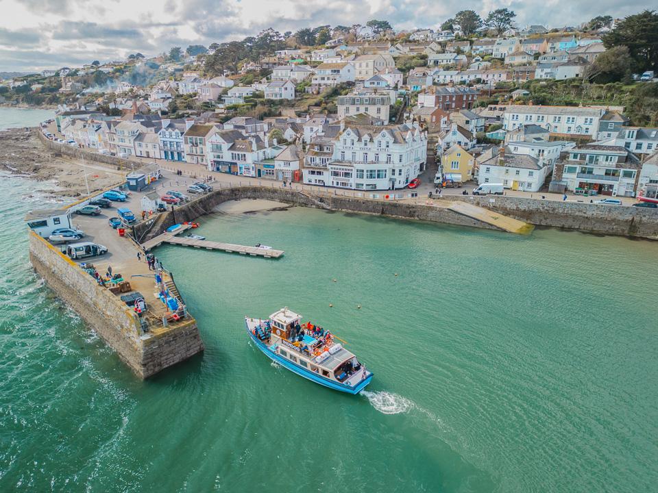
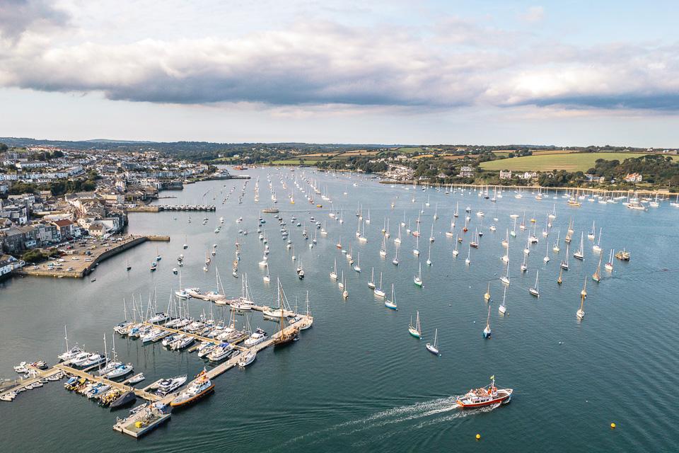 Falmouth19 miles east
 Truro19 miles east
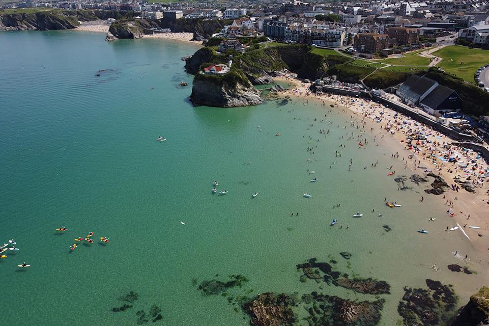 Newquay23 miles north east
 St Austell32 miles east
As the crow flies. Roads add a little.
St Ives at a glance
- Region
- West Cornwall
- Coast
- West Coast
- Grid reference
- SW 518 403
- Coordinates
- 50.2110, -5.4800
- what3words
- ///Open in what3words
- Nearest station
- St Ives (in town)
- Nearest beach
- Porthminster Beach, under a mile
Questions about getting around St Ives
Where is St Ives?
St Ives is in West Cornwall, 7 miles north of Penzance and 12 miles north west of Helston.
How far is St Ives from Penzance?
About 7 miles as the crow flies, north of Penzance. By road it is a little further.
How far is St Ives from Truro?
About 19 miles as the crow flies, west of Truro, Cornwall's only city.
What is the nearest train station to St Ives?
St Ives has its own railway station.
What is the nearest beach to St Ives?
Porthminster Beach, under a mile away. St Ives Harbour Beach is under a mile away.
What is the grid reference for St Ives?
SW 518 403 on the Ordnance Survey National Grid. In latitude and longitude it is 50.2110, -5.4800.
Frequently asked questions about St Ives.
More about St Ives
More on St Ives
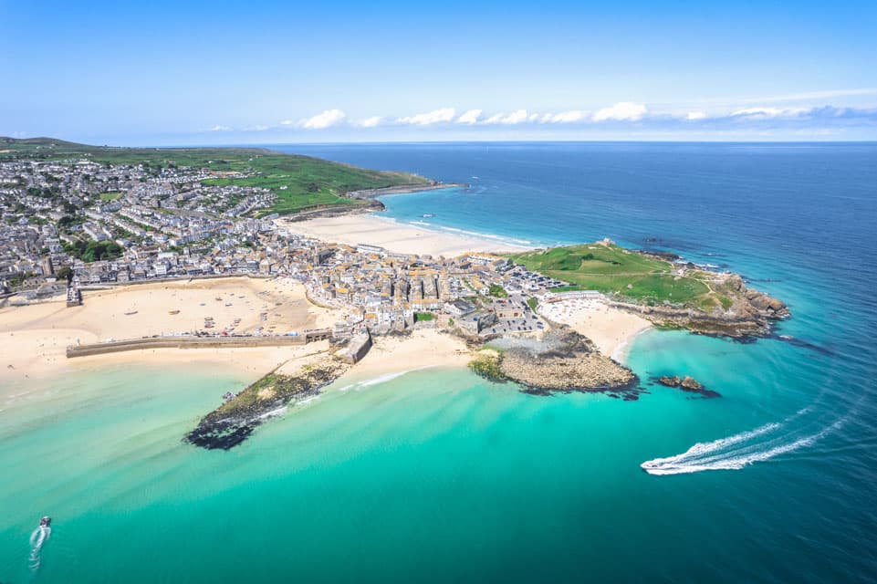 Town guideSt IvesA historic fishing village that inspired creativesSt Ives, a stunning seaside town in Cornwall, is renowned for its golden beaches, vibrant art scene, and charming cobbled streets.Read the guide Beaches for St IvesEvery beach near St IvesOpen Tide times for St IvesHigh and low water, 7 daysOpen Weather for St IvesToday and the days aheadOpen Things to do for St IvesWhat is near St IvesOpen Distances for St IvesMiles and drive timesOpen