Home›Beaches›Porth Beach›Map
Map of Porth Beach
Porth Beach is in North Cornwall, on the north coast, 1 mile north east of Newquay and 10 miles south west of Padstow. The map shows 154 beaches, towns and things to do within 15 miles. Tap a pin for its guide.
154 places
Everything on the map (154)
- Lucky Elephant RockRock and cliff · 0.7 mi
- Lusty Glaze BeachBeaches · 0.8 mi
- Tolcarne BeachBeaches · 0.9 mi
- NewquayTowns · 1.0 mi
- Great Western BeachBeaches · 1.1 mi
- Towan BeachBeaches · 1.4 mi
- Watergate Bay BeachBeaches · 1.5 mi
- Newquay HarbourHistoric sites and culture · 1.5 mi
- Huer's Hut NewquayHistoric sites and culture · 1.5 mi
- Towan HeadPanoramic views · 1.8 mi
- Little Fistral BeachBeaches · 1.9 mi
- Little Fistral Tidal PoolsPools, falls and sea caves · 1.9 mi
Showing 12 of 154 places
Where is Porth Beach?
Porth Beach is in North Cornwall, on the north coast, 1 mile north east of Newquay and 10 miles south west of Padstow. The nearest railway station is Newquay, 1 mile away.
Distance from
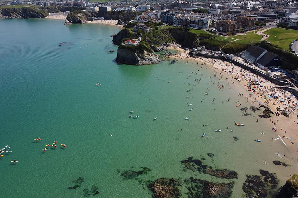 Newquay1 mile south west
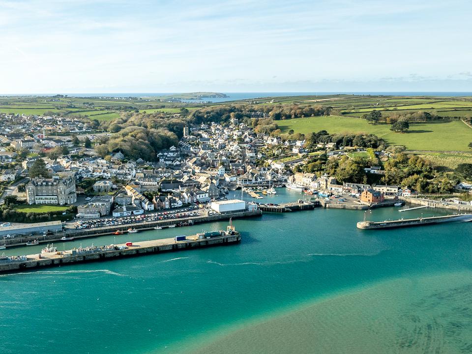 Padstow10 miles north east
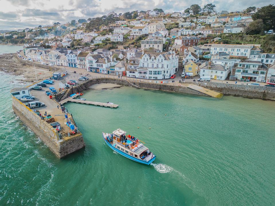 Truro11 miles south
 St Austell13 miles south east
 Bodmin15 miles east
 Falmouth19 miles south
As the crow flies. Roads add a little.
Porth Beach at a glance
- Region
- North Cornwall
- Coast
- North Coast
- Grid reference
- SW 830 628
- Coordinates
- 50.4249, -5.0558
- what3words
- ///Open in what3words
- Nearest station
- Newquay, 1 mile
- Nearest beach
- Lusty Glaze Beach, under a mile
Beaches near Porth Beach
Towns near Porth Beach
Questions about getting around Porth Beach
Where is Porth Beach?
Porth Beach is in North Cornwall, on the north coast, 1 mile north east of Newquay and 10 miles south west of Padstow.
How far is Porth Beach from Newquay?
About 1 mile as the crow flies, north east of Newquay. By road it is a little further.
How far is Porth Beach from Truro?
About 11 miles as the crow flies, north of Truro, Cornwall's only city.
What is the nearest train station to Porth Beach?
The nearest railway station is Newquay, 1 mile away.
What is the nearest beach to Porth Beach?
Lusty Glaze Beach, under a mile away. Tolcarne Beach is under a mile away.
What is the grid reference for Porth Beach?
SW 830 628 on the Ordnance Survey National Grid. In latitude and longitude it is 50.4249, -5.0558.
Frequently asked questions about Porth Beach.
More about Porth Beach
More on Porth Beach
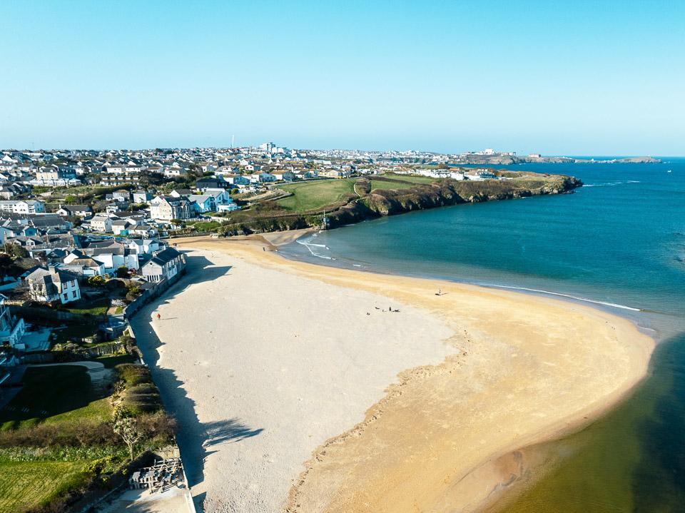 Beach guidePorth BeachNorth CornwallPorth Beach is a great stretch of sandy beach just on the border of Newquay and just a short walk away is Watergate Bay.Read the guide Tide times for Porth BeachHigh and low water, 7 daysOpen Weather for Porth BeachToday and the days aheadOpen Things to do for Porth BeachWhat is near Porth BeachOpen