Home›Beaches›Portheras Cove Beach›Map
Map of Portheras Cove Beach
Portheras Cove Beach is in West Cornwall, 6 miles north west of Penzance and 8 miles west of St Ives. The map shows 157 beaches, towns and things to do within 15 miles. Tap a pin for its guide.
157 places
Everything on the map (157)
- Pendeen LighthouseHistoric sites and culture · 0.6 mi
- The Avarack PoolsPools, falls and sea caves · 1.0 mi
- Hard Rock MuseumHistoric sites and culture · 1.1 mi
- Geevor Tin MineMining heritage · 1.1 mi
- Wheal Mexico MineMining heritage · 1.2 mi
- Chun QuoitHistoric sites and culture · 1.4 mi
- Chun CastleHistoric sites and culture · 1.5 mi
- Levant Mine & Beam EngineMining heritage · 1.5 mi
- Bosigran CragRock and cliff · 1.9 mi
- Carn Galver MineMining heritage · 2.0 mi
- Botallack MineMining heritage · 2.1 mi
- Tregeseal Stone CircleHistoric sites and culture · 2.1 mi
Showing 12 of 157 places
Where is Portheras Cove Beach?
Portheras Cove Beach is in West Cornwall, 6 miles north west of Penzance and 8 miles west of St Ives. The nearest railway station is Penzance, 6 miles away.
Distance from
 Penzance6 miles south east
 St Ives8 miles north east
 Helston18 miles east
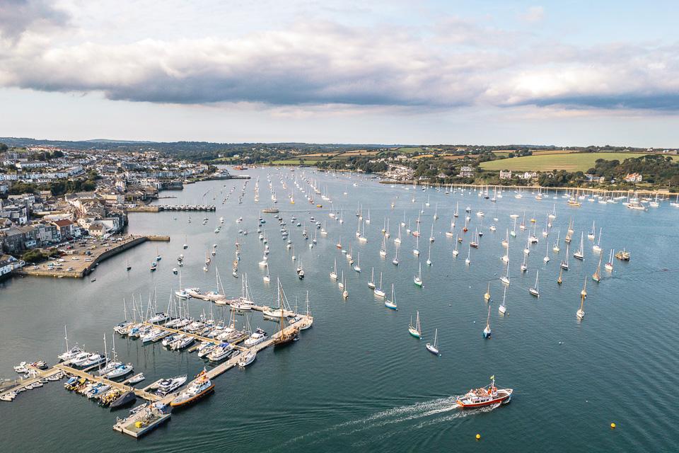 Falmouth26 miles east
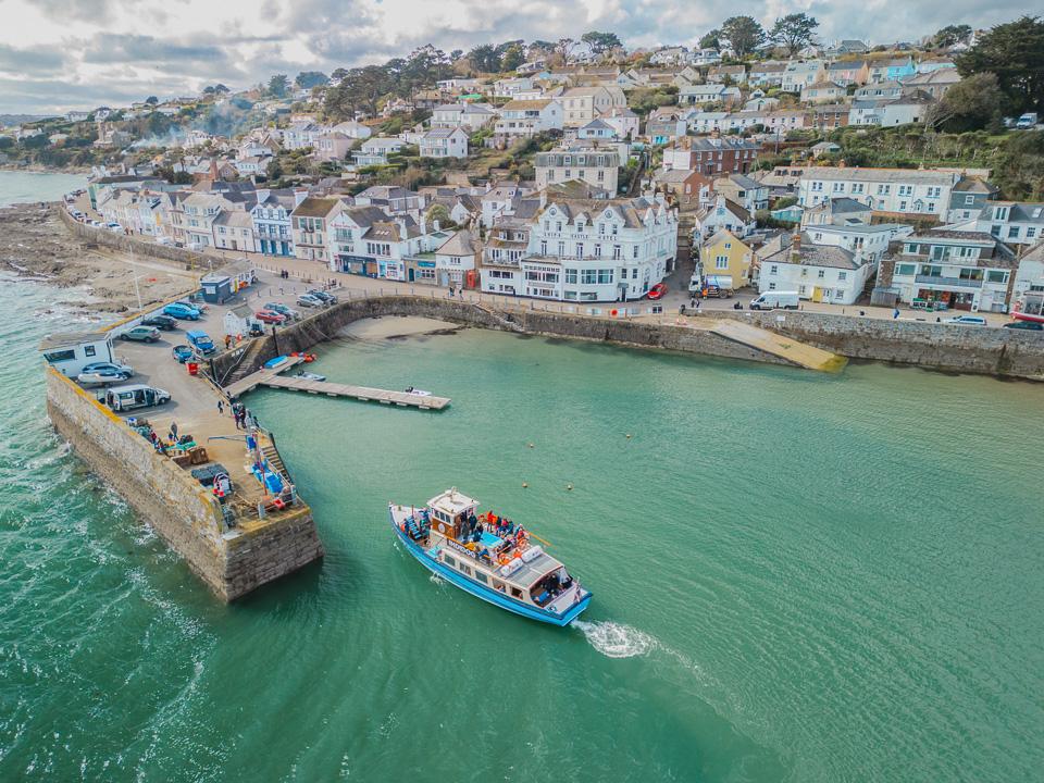 Truro28 miles east
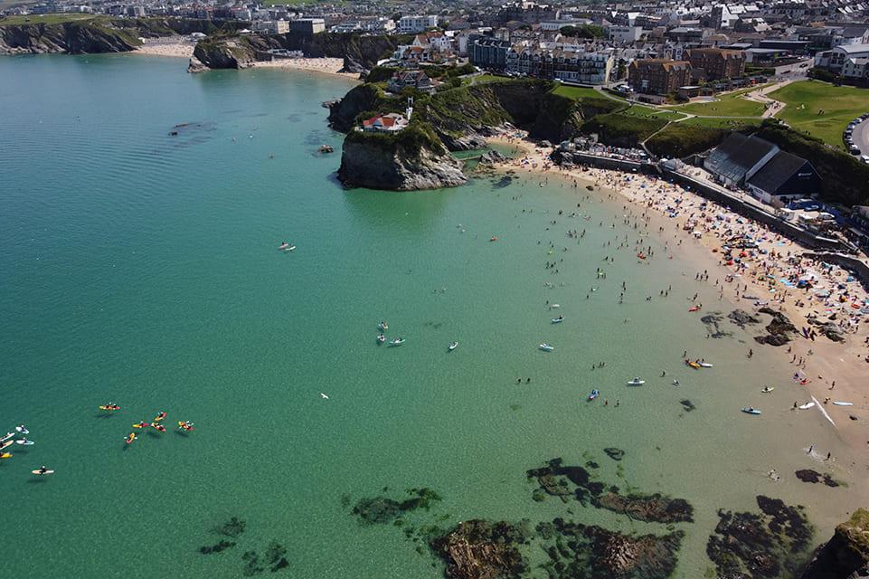 Newquay31 miles north east
As the crow flies. Roads add a little.
Portheras Cove Beach at a glance
- Region
- West Cornwall
- Coast
- West Coast
- Grid reference
- SW 389 357
- Coordinates
- 50.1640, -5.6572
- what3words
- ///Open in what3words
- Nearest station
- Penzance, 6 miles
- Nearest beach
- Porthmeor Cove, 3 miles
Beaches near Portheras Cove Beach
Towns near Portheras Cove Beach
Questions about getting around Portheras Cove Beach
Where is Portheras Cove Beach?
Portheras Cove Beach is in West Cornwall, 6 miles north west of Penzance and 8 miles west of St Ives.
How far is Portheras Cove Beach from Penzance?
About 6 miles as the crow flies, north west of Penzance. By road it is a little further.
How far is Portheras Cove Beach from Truro?
About 28 miles as the crow flies, west of Truro, Cornwall's only city.
What is the nearest train station to Portheras Cove Beach?
The nearest railway station is Penzance, 6 miles away.
What is the nearest beach to Portheras Cove Beach?
Porthmeor Cove, 3 miles away. Gwynver Beach is 6 miles away.
What is the grid reference for Portheras Cove Beach?
SW 389 357 on the Ordnance Survey National Grid. In latitude and longitude it is 50.1640, -5.6572.
Frequently asked questions about Portheras Cove Beach.
More about Portheras Cove Beach
More on Portheras Cove Beach
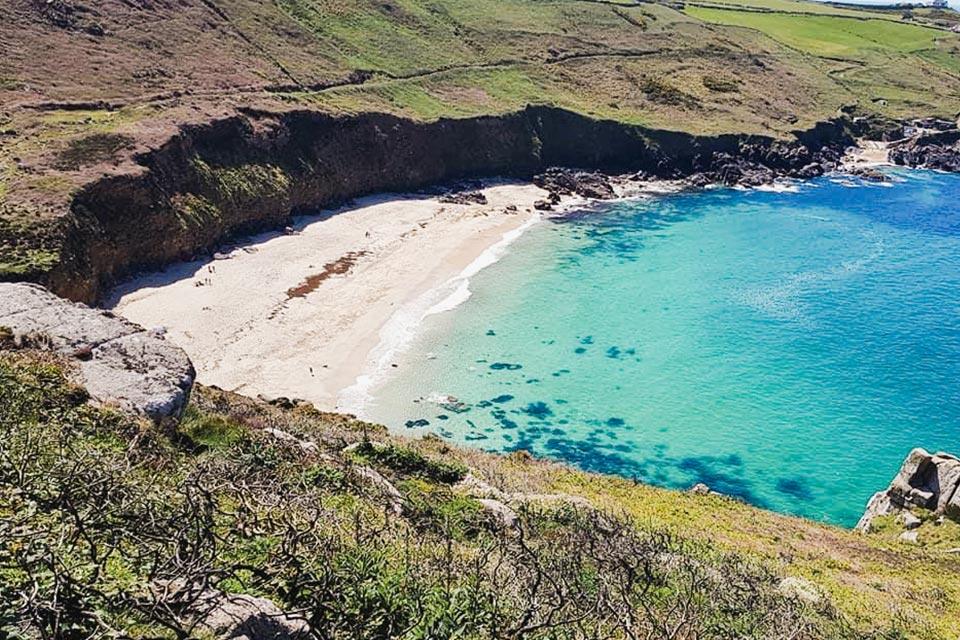 Beach guidePortheras Cove BeachWest CornwallPortheras Cove is one of West Cornwall’s gems, located in the wildest stretches of Cornish coastline and not that easy to locate means in the summer its a haven to escape the busyRead the guide Tide times for Portheras Cove BeachHigh and low water, 7 daysOpen Weather for Portheras Cove BeachToday and the days aheadOpen Things to do for Portheras Cove BeachWhat is near Portheras Cove BeachOpen