Home›Beaches›Whitsand Bay›Map
Map of Whitsand Bay
Whitsand Bay is in South East Cornwall, on the south coast, 9 miles east of Looe and 20 miles south of Launceston. The map shows 77 beaches, towns and things to do within 15 miles. Tap a pin for its guide.
77 places
Everything on the map (77)
- Freathy BeachBeaches · 0.8 mi
- Sharrow BeachBeaches · 0.9 mi
- Antony HouseHistoric sites and culture · 1.3 mi
- Tregantle FortHistoric sites and culture · 1.5 mi
- Scraesdon FortHistoric sites and culture · 1.7 mi
- TorpointTowns · 2.0 mi
- Cawsand HarbourHistoric sites and culture · 2.1 mi
- Kingsand BeachBeaches · 2.2 mi
- Cawsand Bay BeachBeaches · 2.2 mi
- Polhawn FortHistoric sites and culture · 2.3 mi
- Ince CastleHistoric sites and culture · 2.4 mi
- Rame HeadPanoramic views · 2.5 mi
Showing 12 of 77 places
Where is Whitsand Bay?
Whitsand Bay is in South East Cornwall, on the south coast, 9 miles east of Looe and 20 miles south of Launceston. The nearest railway station is Saltash, 4 miles away.
Distance from
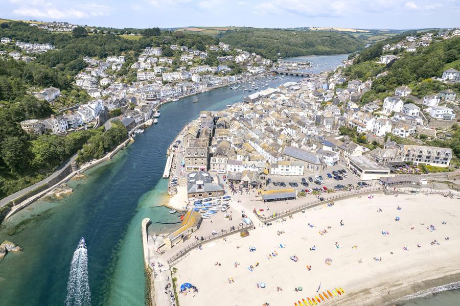 Looe9 miles west
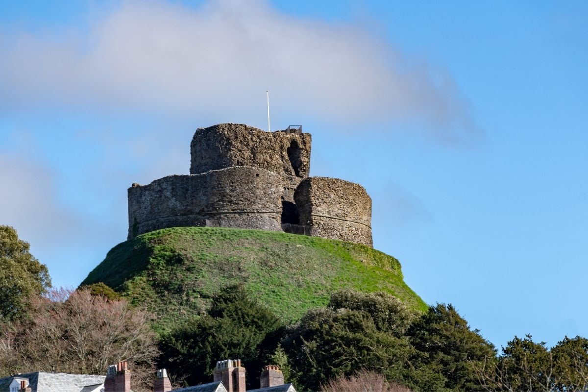 Launceston20 miles north
 Bodmin23 miles west
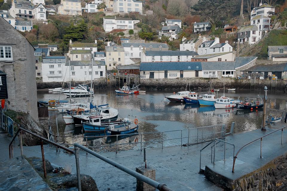 St Austell24 miles west
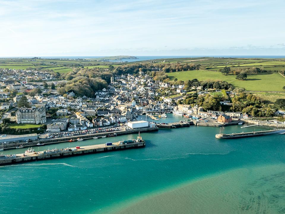 Padstow33 miles north west
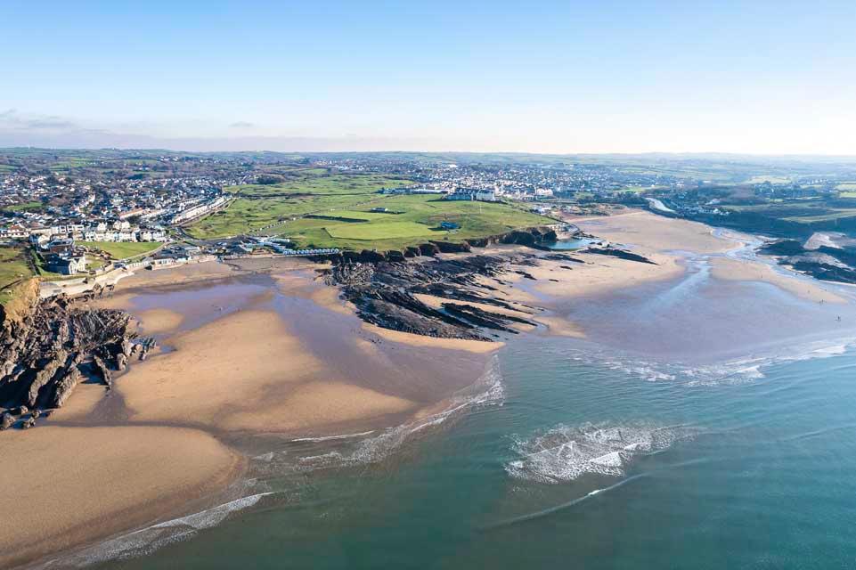 Bude36 miles north
As the crow flies. Roads add a little.
Whitsand Bay at a glance
- Region
- South East Cornwall
- Coast
- South Coast
- Grid reference
- SX 407 526
- Coordinates
- 50.3520, -4.2400
- what3words
- ///Open in what3words
- Nearest station
- Saltash, 4 miles
- Nearest beach
- Freathy Beach, under a mile
Beaches near Whitsand Bay
Towns near Whitsand Bay
Questions about getting around Whitsand Bay
Where is Whitsand Bay?
Whitsand Bay is in South East Cornwall, on the south coast, 9 miles east of Looe and 20 miles south of Launceston.
How far is Whitsand Bay from Looe?
About 9 miles as the crow flies, east of Looe. By road it is a little further.
How far is Whitsand Bay from Truro?
About 36 miles as the crow flies, east of Truro, Cornwall's only city.
What is the nearest train station to Whitsand Bay?
The nearest railway station is Saltash, 4 miles away.
What is the nearest beach to Whitsand Bay?
Freathy Beach, under a mile away. Sharrow Beach is under a mile away.
What is the grid reference for Whitsand Bay?
SX 407 526 on the Ordnance Survey National Grid. In latitude and longitude it is 50.3520, -4.2400.
Frequently asked questions about Whitsand Bay.
More about Whitsand Bay
More on Whitsand Bay
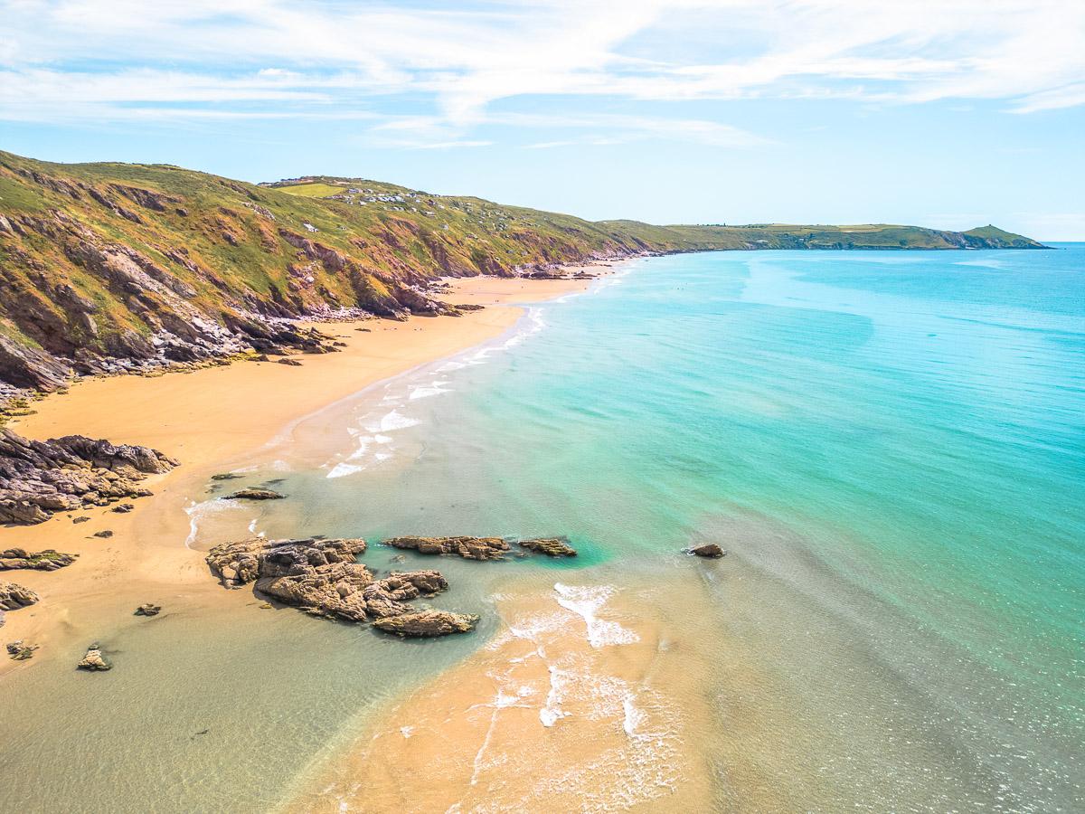 Beach guideWhitsand BaySouth East CornwallThree miles of sand under steep cliffs, reached by a series of near-vertical paths.Read the guide Tide times for Whitsand BayHigh and low water, 7 daysOpen Weather for Whitsand BayToday and the days aheadOpen Things to do for Whitsand BayWhat is near Whitsand BayOpen