Home›Distances›Boscastle›Mousehole
Distance from Boscastle to Mousehole
Boscastle to Mousehole is 68 miles (109 km) by road, about 1 hour 33 minutes in the car. As the crow flies it is 56 miles, with Mousehole south west of Boscastle.
68 mi
109 km by road
1 hr 33 min
By car, clear roads
56 mi
90 km in a straight line
A30
Main roads
Loading map…
Route and times from OpenStreetMap data, for clear roads. Summer traffic adds to them.
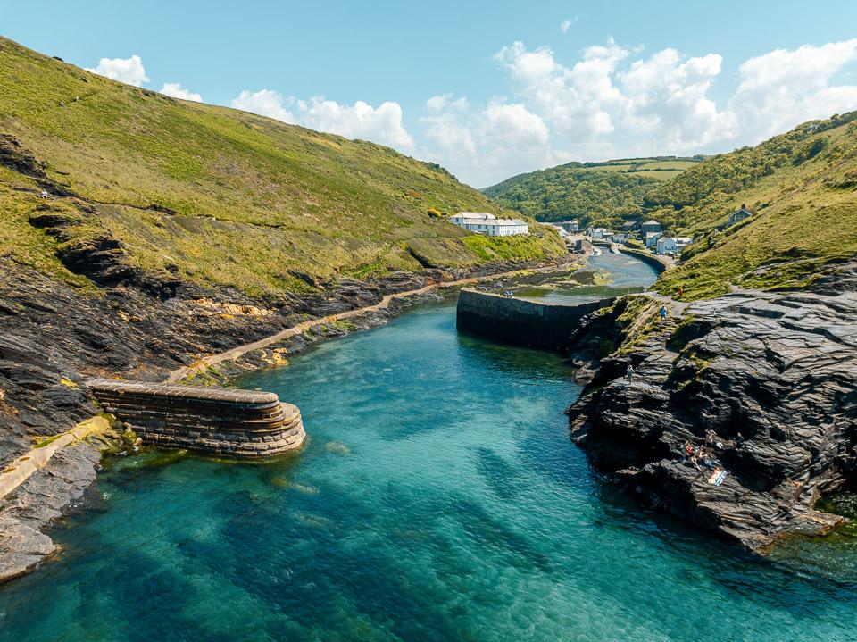 BoscastleRead the Boscastle guide →
- GPS (DMS)
- 50° 41′ 24.0″ N
4° 41′ 42.0″ W - Latitude
- 50.69000
- Longitude
- -4.69500
- Altitude
- 32 m
- Grid reference
- SX 097 912
- what3words
- ///Open in what3words
- Region
- North Cornwall
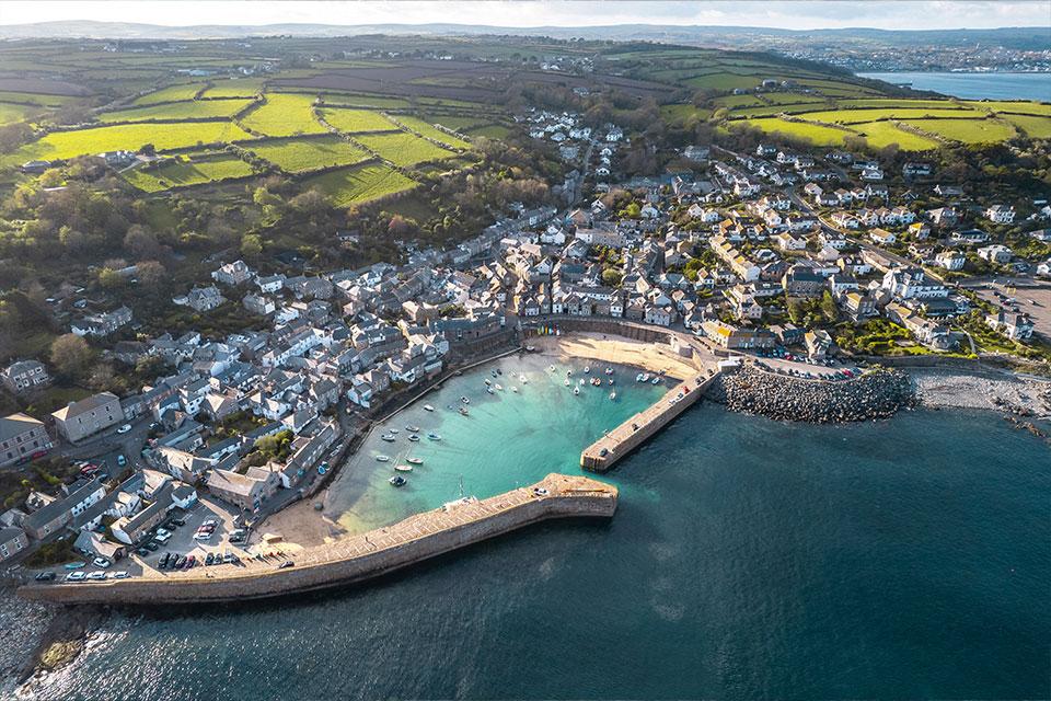 MouseholeRead the Mousehole guide →
- GPS (DMS)
- 50° 4′ 58.8″ N
5° 32′ 20.4″ W - Latitude
- 50.08300
- Longitude
- -5.53900
- Altitude
- Sea level
- Grid reference
- SW 469 263
- what3words
- ///Open in what3words
- Region
- West Cornwall
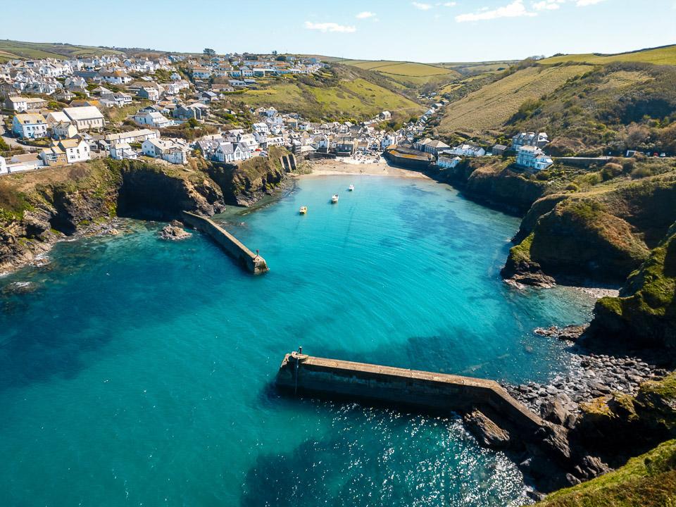
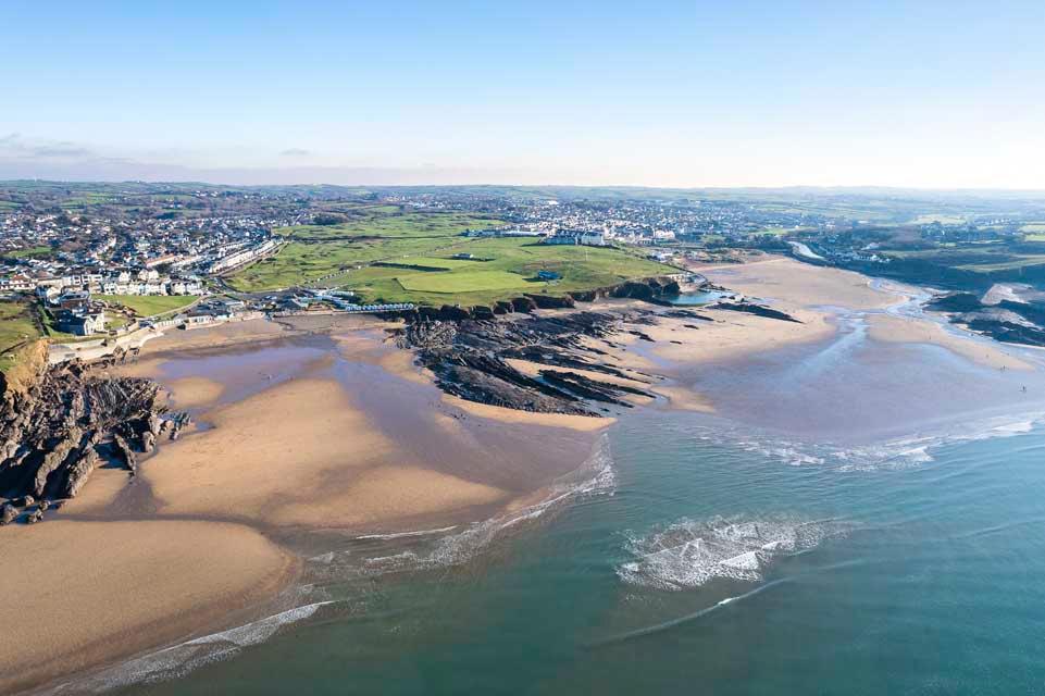
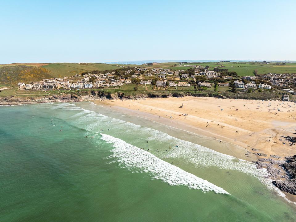
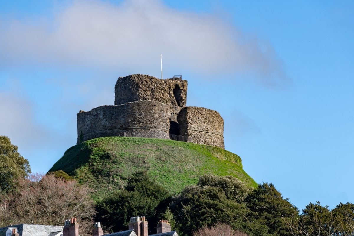
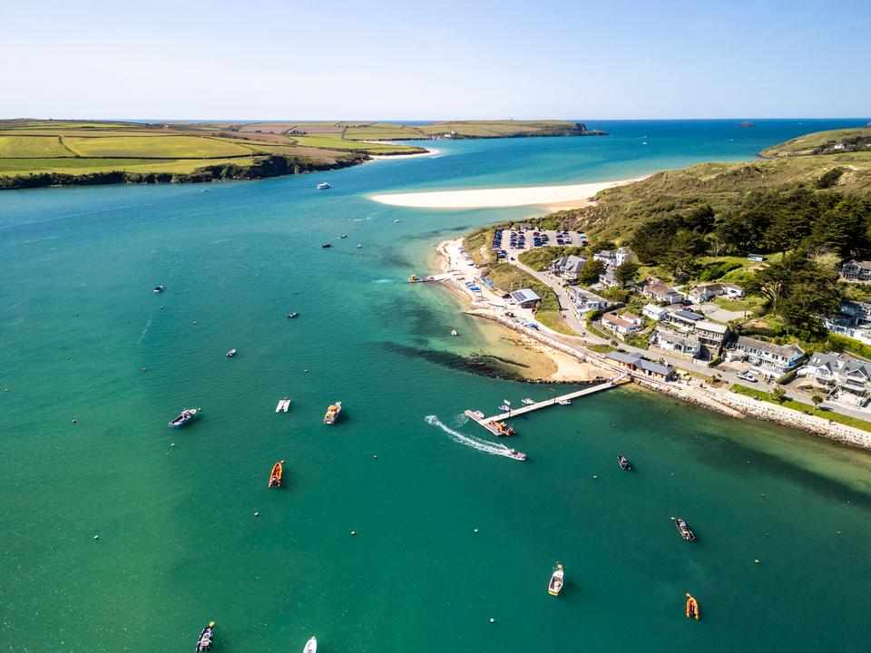
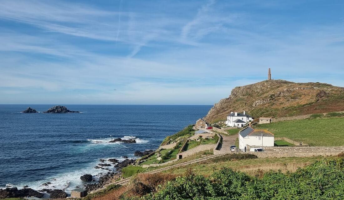
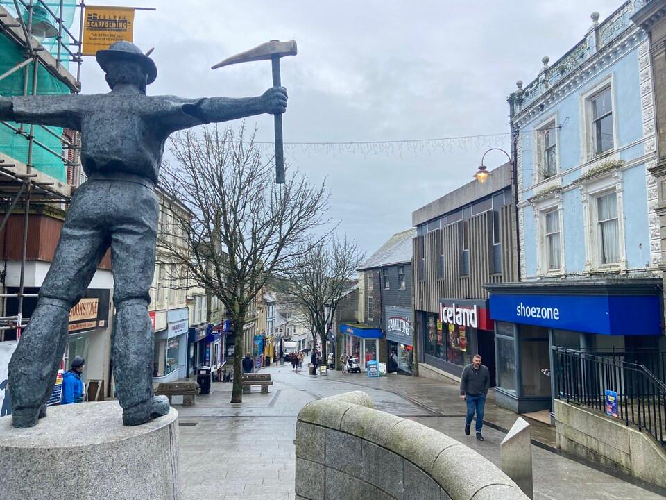
On the way
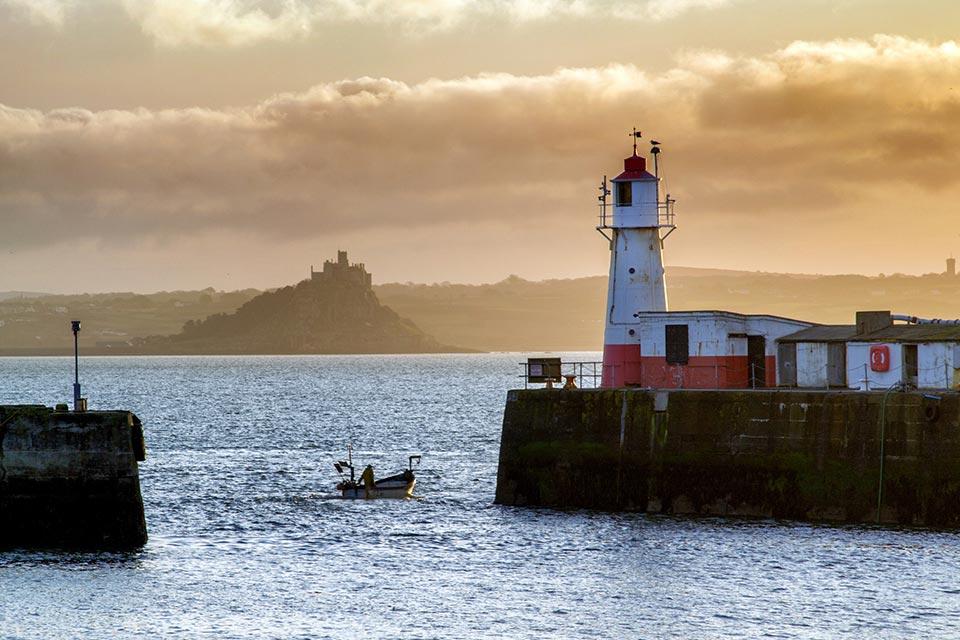
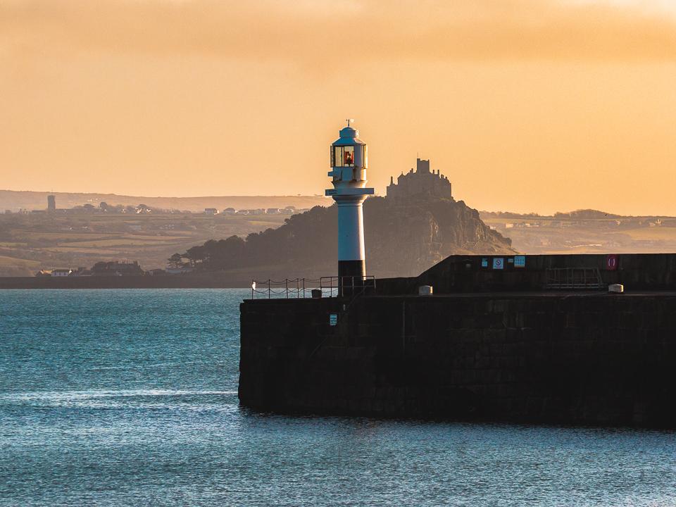
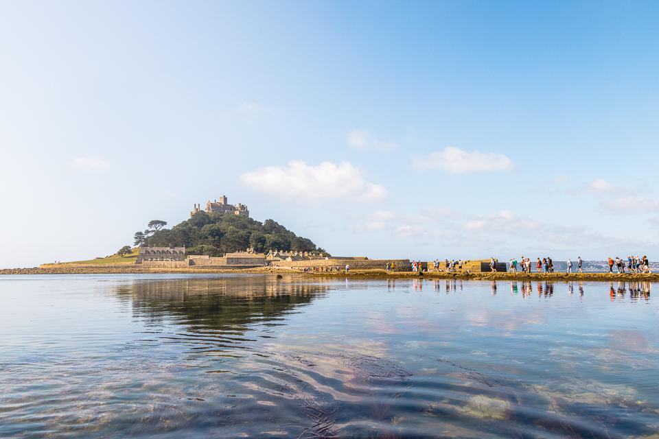
Along the route: Redruth, Camborne, Hayle, Marazion, Penzance.
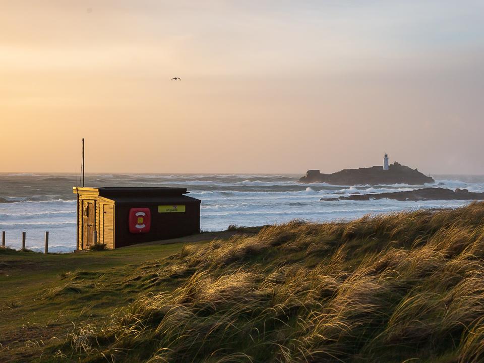
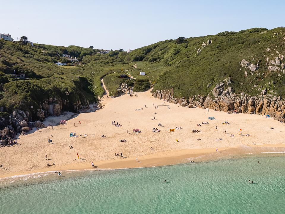
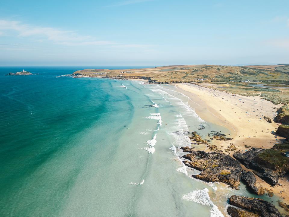
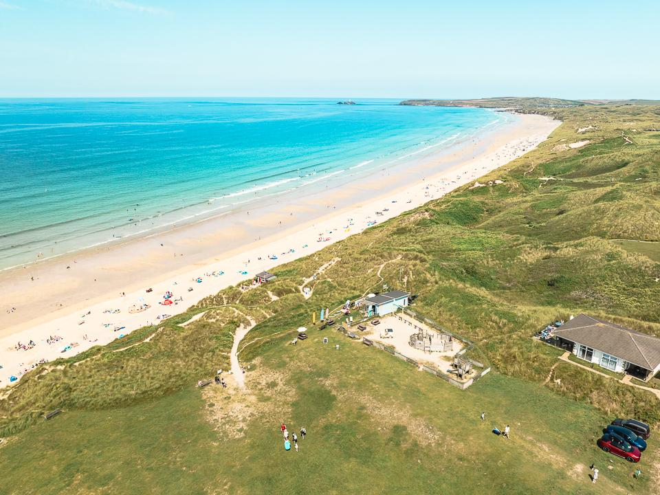
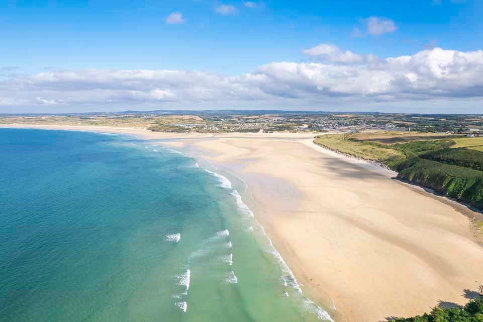
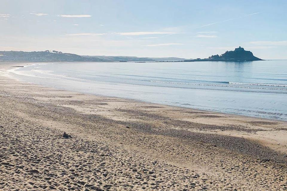
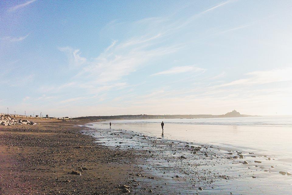
Beaches near the road
Boscastle to Mousehole: questions
How far is Boscastle from Mousehole?
68 miles (109 km) by road and 56 miles (90 km) in a straight line.
How long does it take to drive from Boscastle to Mousehole?
About 1 hour 33 minutes with clear roads, mostly on the A30. Allow longer in July and August.
Is it the same distance from Mousehole to Boscastle?
Yes, 68 miles by road either way.
Frequently asked questions about Boscastle to Mousehole.
More on Boscastle
Town guideBoscastleA dramatic harbour carved by valleysBoscastle is set down from the highland into a narrow ravine, classed as a tiny port with a natural harbour, Boscastle boasts some of the most attractive 19th century thatched cottages and white-washed buildings.Read the guide Beaches for BoscastleEvery beach near BoscastleOpen Tide times for BoscastleHigh and low water, 7 daysOpen Weather for BoscastleToday and the days aheadOpen Map for BoscastleStreet, satellite and terrainOpen Things to do for BoscastleWhat is near BoscastleOpen Distances for BoscastleMiles and drive timesOpen More on Mousehole
Town guideMouseholeA quiet fishing village with timeless charmMousehole is a small old fishing village on the West Coast of Cornwall, sacked by the Spaniards in July 1595 during this tragic event the entire village apart from one house was burnt to the ground, the house still stands today which shows the testament of how the houses were built back then.Read the guide Beaches for MouseholeEvery beach near MouseholeOpen Tide times for MouseholeHigh and low water, 7 daysOpen Weather for MouseholeToday and the days aheadOpen Map for MouseholeStreet, satellite and terrainOpen Things to do for MouseholeWhat is near MouseholeOpen Distances for MouseholeMiles and drive timesOpen