91 places
Everything on the map (91)
- Museum of Witchcraft and MagicHistoric sites and culture · 0.0 mi
- Boscastle HarbourHistoric sites and culture · 0.2 mi
- Boscastle Tidal PoolPools, falls and sea caves · 0.2 mi
- Pentargon WaterfallPools, falls and sea caves · 0.8 mi
- Grower RockRock and cliff · 0.9 mi
- Minster Church, BoscastleHistoric sites and culture · 1.0 mi
- Fred's RockRock and cliff · 1.1 mi
- Ladies WindowCoast and countryside · 1.3 mi
- Saddle RockRock and cliff · 1.6 mi
- Rocky ValleyRock and cliff · 1.9 mi
- St Nectan's Kieve (St Nectan's Glen)Pools, falls and sea caves · 2.0 mi
- St Nectan's GlenCoast and countryside · 2.1 mi
Showing 12 of 91 places
Where is Boscastle?
Boscastle is in North Cornwall, on the north coast, 12 miles south west of Bude and 15 miles north east of Padstow. The nearest railway station is Liskeard, 19 miles away.
Distance from
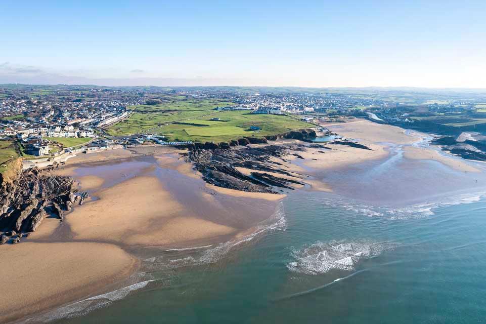 Bude12 miles north east
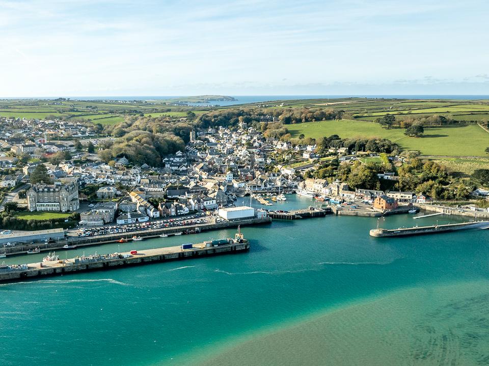 Padstow15 miles south west
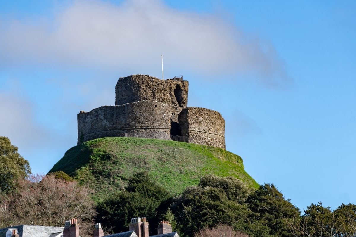 Launceston15 miles east
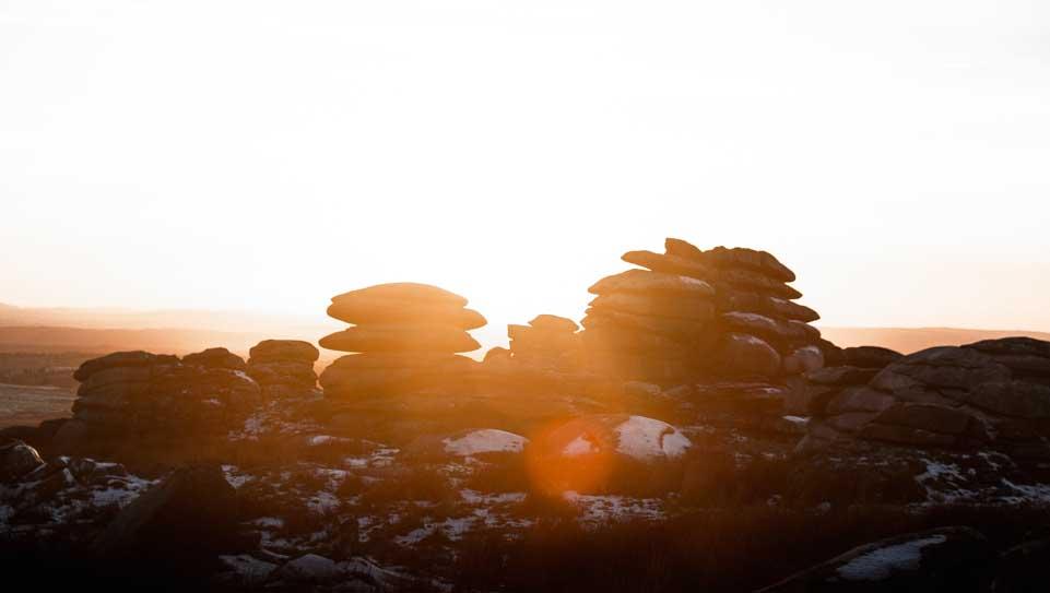 Bodmin15 miles south
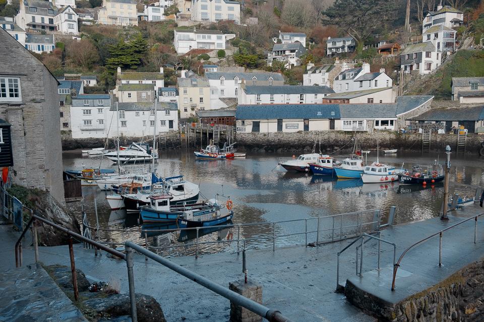 St Austell25 miles south
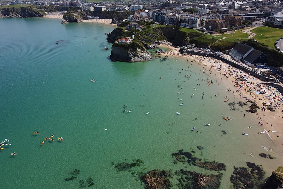 Newquay25 miles south west
As the crow flies. Roads add a little.
Boscastle at a glance
- Region
- North Cornwall
- Coast
- North Coast
- Grid reference
- SX 097 912
- Coordinates
- 50.6900, -4.6950
- what3words
- ///Open in what3words
- Nearest station
- Liskeard, 19 miles
- Nearest beach
- Trebarwith Strand Beach, 4 miles
Questions about getting around Boscastle
Where is Boscastle?
Boscastle is in North Cornwall, on the north coast, 12 miles south west of Bude and 15 miles north east of Padstow.
How far is Boscastle from Bude?
About 12 miles as the crow flies, south west of Bude. By road it is a little further.
How far is Boscastle from Truro?
About 33 miles as the crow flies, north east of Truro, Cornwall's only city.
What is the nearest train station to Boscastle?
The nearest railway station is Liskeard, 19 miles away.
What is the nearest beach to Boscastle?
Trebarwith Strand Beach, 4 miles away. Crackington Haven Beach is 4 miles away.
What is the grid reference for Boscastle?
SX 097 912 on the Ordnance Survey National Grid. In latitude and longitude it is 50.6900, -4.6950.
Frequently asked questions about Boscastle.
More about Boscastle
More on Boscastle
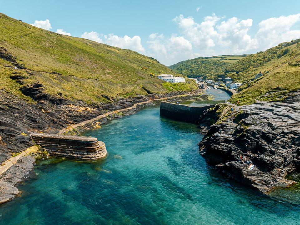 Town guideBoscastleA dramatic harbour carved by valleysBoscastle is set down from the highland into a narrow ravine, classed as a tiny port with a natural harbour, Boscastle boasts some of the most attractive 19th century thatched cottages and white-washed buildings.Read the guide Beaches for BoscastleEvery beach near BoscastleOpen Tide times for BoscastleHigh and low water, 7 daysOpen Weather for BoscastleToday and the days aheadOpen Things to do for BoscastleWhat is near BoscastleOpen Distances for BoscastleMiles and drive timesOpen