Home›Distances›Padstow›Port Isaac
Distance from Padstow to Port Isaac
Padstow to Port Isaac is 17 miles (28 km) by road, about 29 minutes in the car. As the crow flies it is 6 miles, with Port Isaac north east of Padstow.
17 mi
28 km by road
29 min
By car, clear roads
6 mi
10 km in a straight line
A389
Main roads
Loading map…
Route and times from OpenStreetMap data, for clear roads. Summer traffic adds to them.
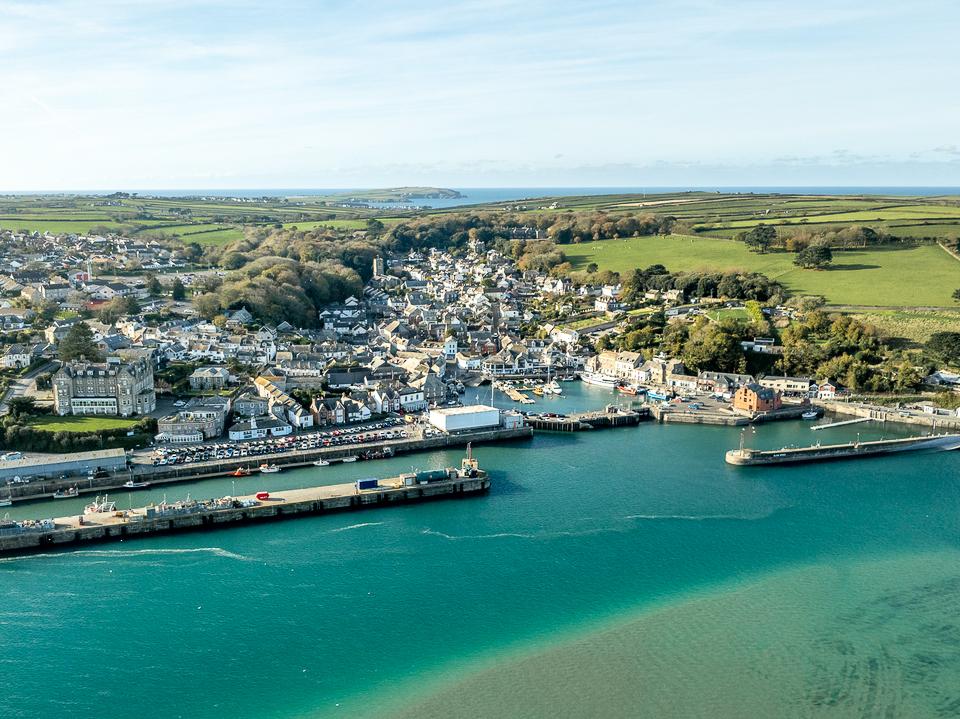 PadstowRead the Padstow guide →
- GPS (DMS)
- 50° 32′ 27.6″ N
4° 56′ 13.2″ W - Latitude
- 50.54100
- Longitude
- -4.93700
- Altitude
- Sea level
- Grid reference
- SW 919 753
- what3words
- ///Open in what3words
- Region
- North Cornwall
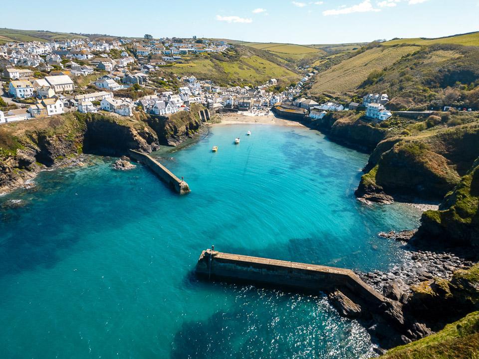 Port IsaacRead the Port Isaac guide →
- GPS (DMS)
- 50° 35′ 38.0″ N
4° 49′ 48.0″ W - Latitude
- 50.59390
- Longitude
- -4.83000
- Altitude
- 33 m
- Grid reference
- SW 997 809
- what3words
- ///Open in what3words
- Region
- North Cornwall
Padstow to Port Isaac: questions
How far is Padstow from Port Isaac?
17 miles (28 km) by road and 6 miles (10 km) in a straight line.
How long does it take to drive from Padstow to Port Isaac?
About 29 minutes with clear roads, mostly on the A389. Allow longer in July and August.
Is it the same distance from Port Isaac to Padstow?
Yes, 17 miles by road either way.
Frequently asked questions about Padstow to Port Isaac.
More on Padstow
Town guidePadstowA fishing port turned culinary destinationPadstow was and still is a busy fishing port as it was once back in Elizabethan times, now the local fishermen supply the multiple restaurants within the town.Read the guide Beaches for PadstowEvery beach near PadstowOpen Tide times for PadstowHigh and low water, 7 daysOpen Weather for PadstowToday and the days aheadOpen Map for PadstowStreet, satellite and terrainOpen Things to do for PadstowWhat is near PadstowOpen Distances for PadstowMiles and drive timesOpen More on Port Isaac
Town guidePort IsaacRead the guide Beaches for Port IsaacEvery beach near Port IsaacOpen Tide times for Port IsaacHigh and low water, 7 daysOpen Weather for Port IsaacToday and the days aheadOpen Map for Port IsaacStreet, satellite and terrainOpen Things to do for Port IsaacWhat is near Port IsaacOpen Distances for Port IsaacMiles and drive timesOpen