129 places
Everything on the map (129)
- St Fimbarrus Church FoweyHistoric sites and culture · 0.1 mi
- Fowey Town MuseumHistoric sites and culture · 0.1 mi
- Fowey EstuaryPools, falls and sea caves · 0.3 mi
- Fowey HarbourHistoric sites and culture · 0.3 mi
- Fowey to Bodinnick FerryPools, falls and sea caves · 0.4 mi
- Hall WalkHistoric sites and culture · 0.5 mi
- Ready Money Cove BeachBeaches · 0.6 mi
- St Catherine's CastleHistoric sites and culture · 0.6 mi
- Pont PillHistoric sites and culture · 0.7 mi
- St Wyllow Church, Lanteglos-by-FoweyHistoric sites and culture · 1.3 mi
- Lantic Bay BeachBeaches · 1.6 mi
- Polkerris BeachBeaches · 2.0 mi
Showing 12 of 129 places
Where is Fowey?
Fowey is in South East Cornwall, on the south coast, 7 miles east of St Austell and 8 miles west of Looe. The nearest railway station is Lostwithiel, 5 miles away.
Distance from
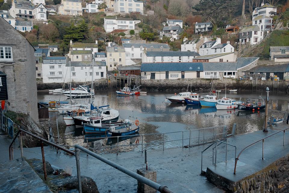 St Austell7 miles west
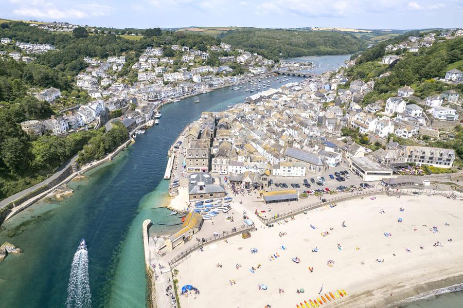 Looe8 miles east
 Bodmin10 miles north
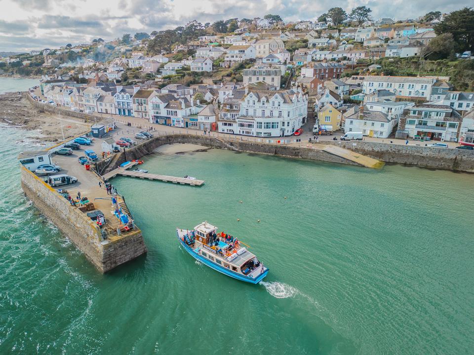 Truro19 miles west
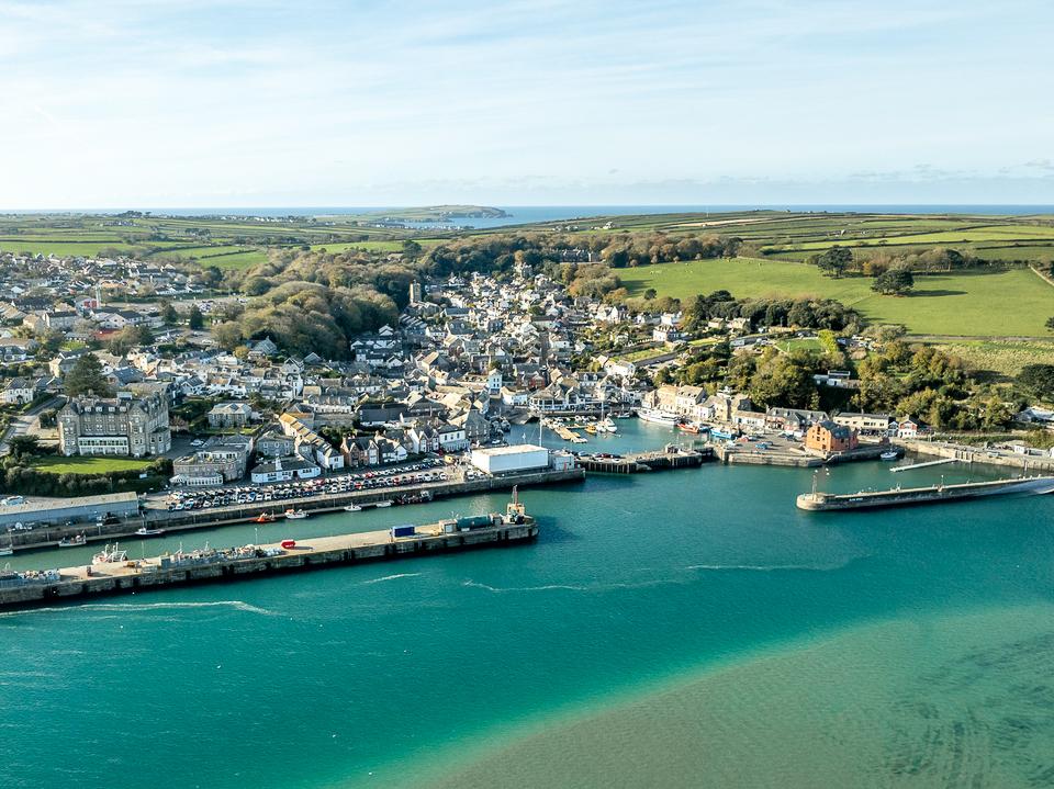 Padstow19 miles north west
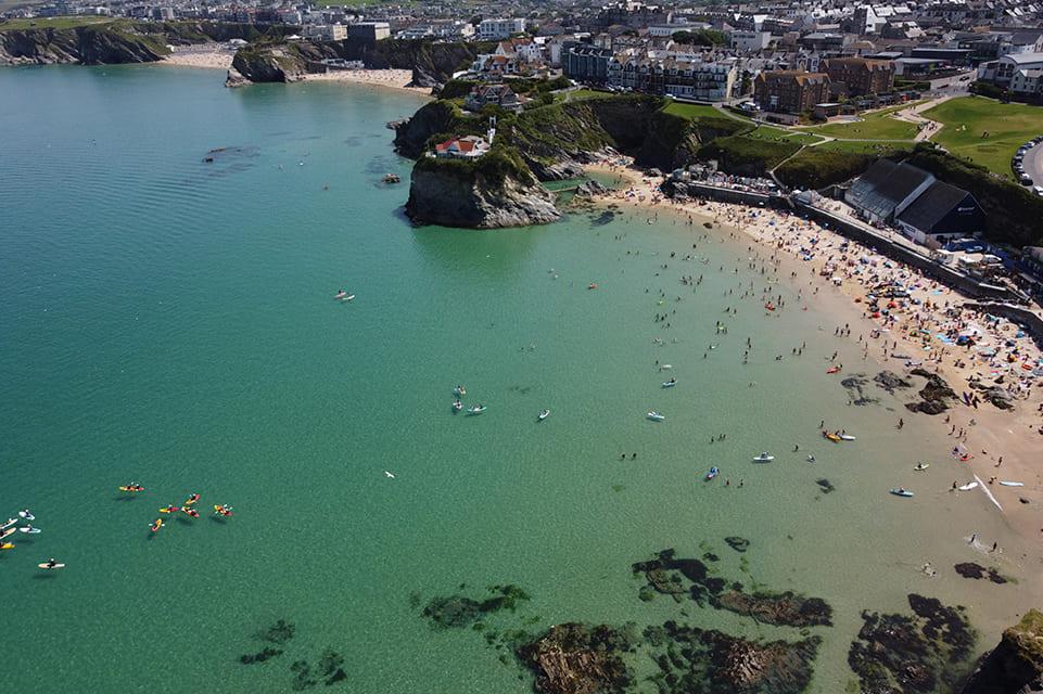 Newquay20 miles west
As the crow flies. Roads add a little.
Fowey at a glance
- Region
- South East Cornwall
- Coast
- South Coast
- Grid reference
- SX 124 517
- Coordinates
- 50.3360, -4.6370
- what3words
- ///Open in what3words
- Nearest station
- Lostwithiel, 5 miles
- Nearest beach
- Ready Money Cove Beach, under a mile
Questions about getting around Fowey
Where is Fowey?
Fowey is in South East Cornwall, on the south coast, 7 miles east of St Austell and 8 miles west of Looe.
How far is Fowey from St Austell?
About 7 miles as the crow flies, east of St Austell. By road it is a little further.
How far is Fowey from Truro?
About 19 miles as the crow flies, east of Truro, Cornwall's only city.
What is the nearest train station to Fowey?
The nearest railway station is Lostwithiel, 5 miles away.
What is the nearest beach to Fowey?
Ready Money Cove Beach, under a mile away. Polridmouth Cove Beach is 2 miles away.
What is the grid reference for Fowey?
SX 124 517 on the Ordnance Survey National Grid. In latitude and longitude it is 50.3360, -4.6370.
Frequently asked questions about Fowey.
More about Fowey
More on Fowey
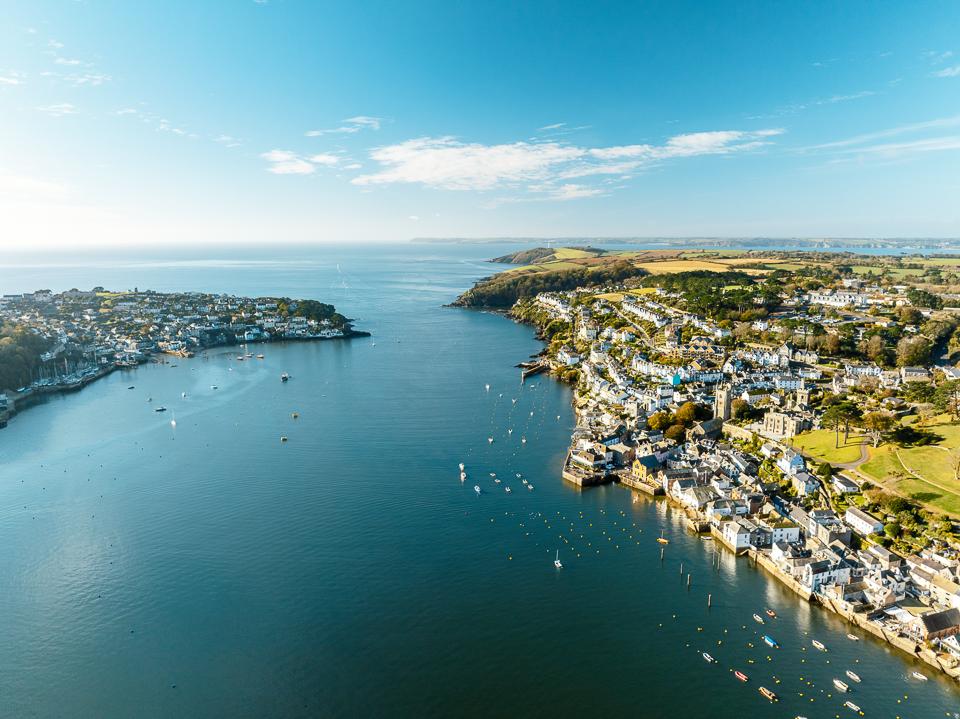 Town guideFoweyA historic harbour town by riverFowey is a small port which still is busy to this day, providing scenic moorings for leisure boats; the harbour is flanked by fourteenth-century blockhouses, one in Fowey and one of the opposite sides of the river in Polruan, from which chains were suspended to close the harbour mouth way back when.Read the guide Beaches for FoweyEvery beach near FoweyOpen Tide times for FoweyHigh and low water, 7 daysOpen Weather for FoweyToday and the days aheadOpen Things to do for FoweyWhat is near FoweyOpen Distances for FoweyMiles and drive timesOpen