Home›Towns›The Lizard›Map
Map of The Lizard
The Lizard is in West Cornwall, inland, 10 miles south of Helston and 15 miles south west of Falmouth. The map shows 97 beaches, towns and things to do within 15 miles. Tap a pin for its guide.
97 places
Everything on the map (97)
- Lizard LighthouseHistoric sites and culture · 0.1 mi
- Lizard PointPanoramic views · 0.1 mi
- Lizard Lighthouse Heritage CentreHistoric sites and culture · 0.1 mi
- Polpeor CoveBeaches · 0.1 mi
- Housel Bay BeachBeaches · 0.4 mi
- Lizard Wireless StationHistoric sites and culture · 0.6 mi
- Bass PointPanoramic views · 0.8 mi
- St Wynwallow Church, LandewednackHistoric sites and culture · 0.9 mi
- Pentreath BeachBeaches · 0.9 mi
- Church CoveBeaches · 1.1 mi
- Kynance CoveBeaches · 1.5 mi
- Mermaid Pool Kynance CovePools, falls and sea caves · 1.6 mi
Showing 12 of 97 places
Where is The Lizard?
The Lizard is in West Cornwall, inland, 10 miles south of Helston and 15 miles south west of Falmouth. The nearest railway station is Falmouth, 15 miles away.
Distance from
 Helston10 miles north
 Falmouth15 miles north east
 Penzance18 miles north west
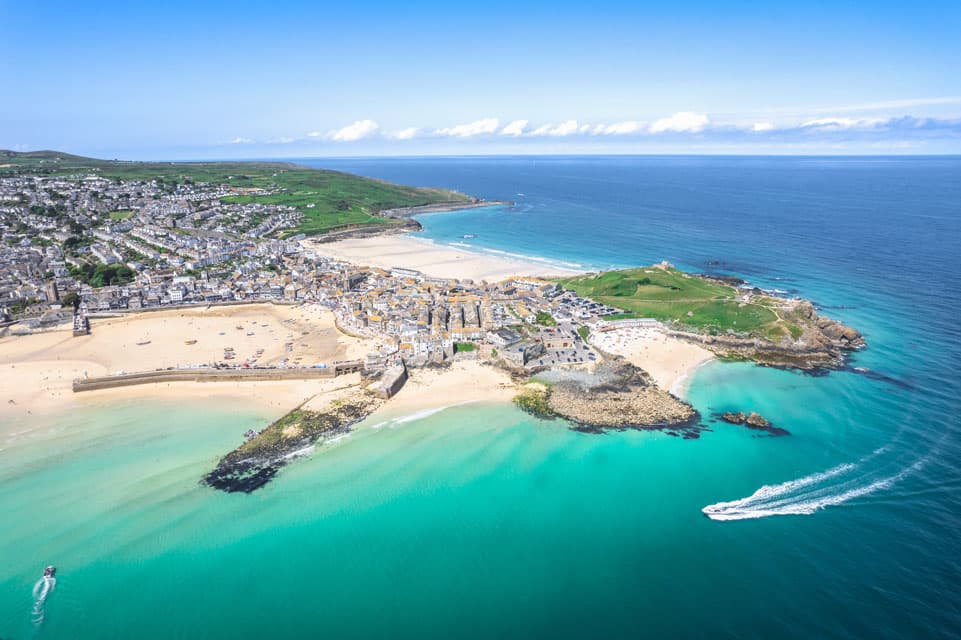 St Ives21 miles north west
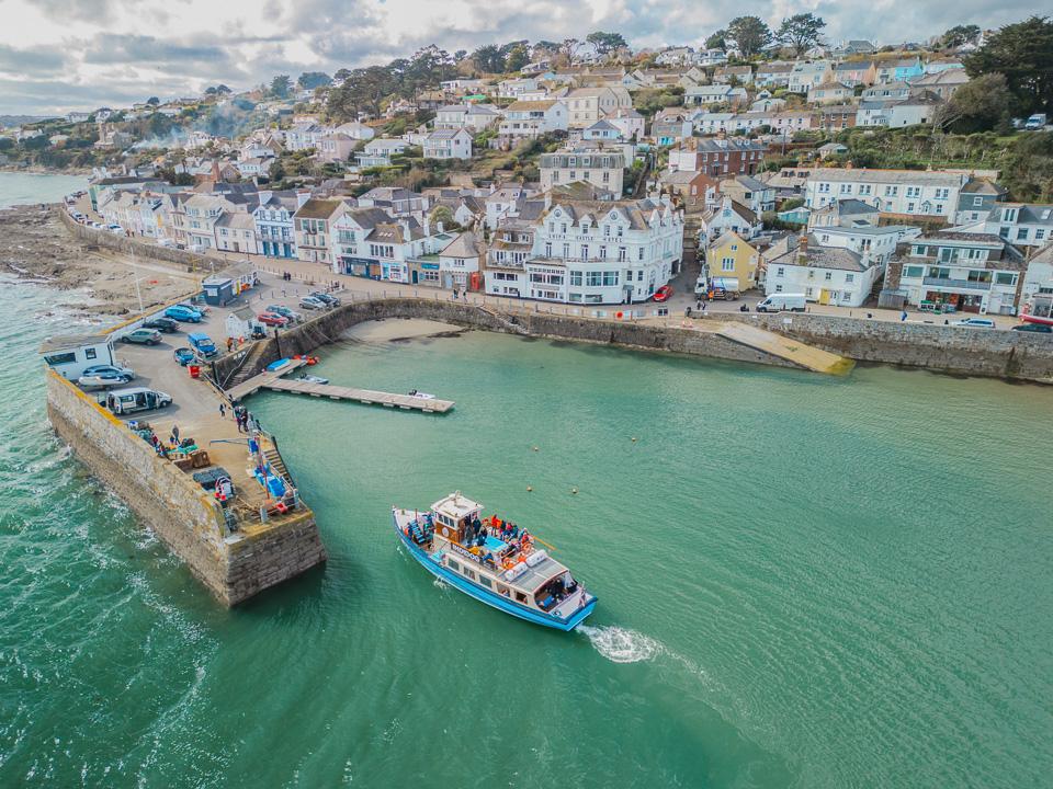 Truro22 miles north
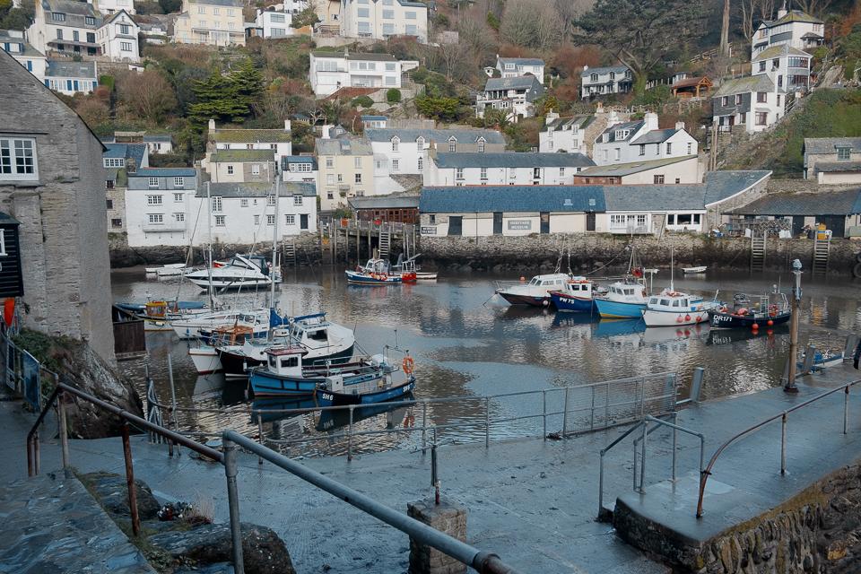 St Austell32 miles north east
As the crow flies. Roads add a little.
The Lizard at a glance
- Region
- West Cornwall
- Coast
- Inland
- Grid reference
- SW 702 115
- Coordinates
- 49.9600, -5.2050
- what3words
- ///Open in what3words
- Nearest station
- Falmouth, 15 miles
- Nearest beach
- Polpeor Cove, under a mile
Questions about getting around The Lizard
Where is The Lizard?
The Lizard is in West Cornwall, inland, 10 miles south of Helston and 15 miles south west of Falmouth.
How far is The Lizard from Helston?
About 10 miles as the crow flies, south of Helston. By road it is a little further.
How far is The Lizard from Truro?
About 22 miles as the crow flies, south of Truro, Cornwall's only city.
What is the nearest train station to The Lizard?
The nearest railway station is Falmouth, 15 miles away.
What is the nearest beach to The Lizard?
Polpeor Cove, under a mile away. Housel Bay Beach is under a mile away.
What is the grid reference for The Lizard?
SW 702 115 on the Ordnance Survey National Grid. In latitude and longitude it is 49.9600, -5.2050.
Frequently asked questions about The Lizard.
More about The Lizard
More on The Lizard
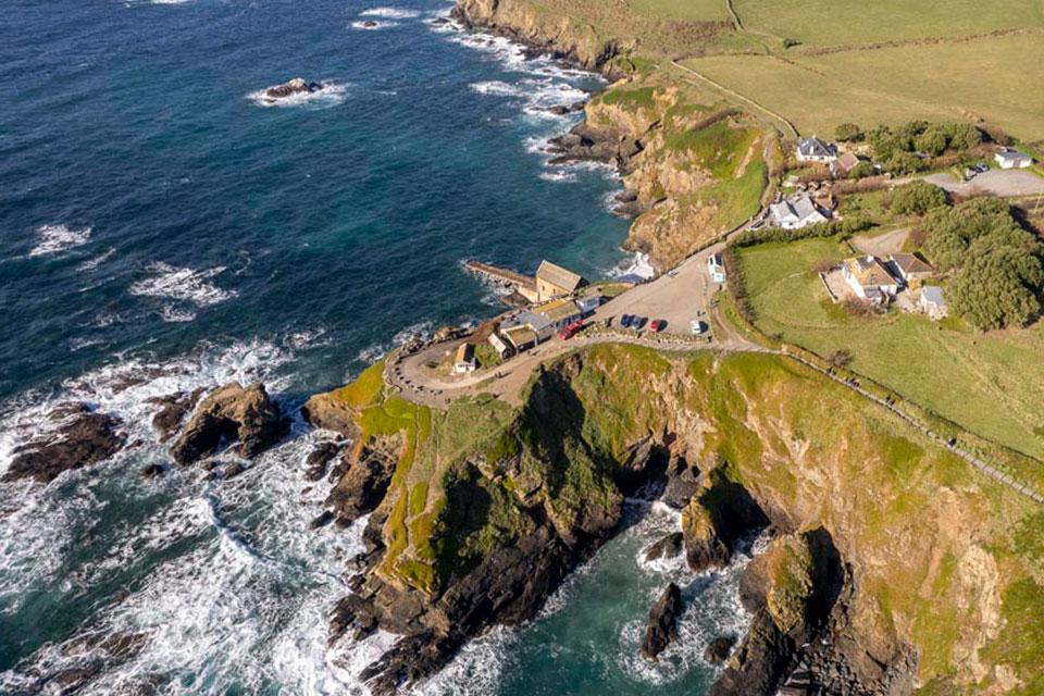 Town guideThe LizardBritain’s most south-westerly villageLizard Point is the most southerly point in the UK, famous for the serpentine stone which is a unique metamorphic rock, dark green vein with red and white.Read the guide Beaches for The LizardEvery beach near The LizardOpen Tide times for The LizardHigh and low water, 7 daysOpen Weather for The LizardToday and the days aheadOpen Things to do for The LizardWhat is near The LizardOpen Distances for The LizardMiles and drive timesOpen