Home›Towns›Lostwithiel›Map
Map of Lostwithiel
Lostwithiel is in South East Cornwall, on the south coast, 5 miles south east of Bodmin and 7 miles north east of St Austell. The map shows 150 beaches, towns and things to do within 15 miles. Tap a pin for its guide.
150 places
Everything on the map (150)
- Lostwithiel BridgeHistoric sites and culture · 0.1 mi
- St Bartholomew Church, LostwithielHistoric sites and culture · 0.1 mi
- Lostwithiel MuseumHistoric sites and culture · 0.1 mi
- Restormel CastleHistoric sites and culture · 0.2 mi
- Wheal FortescueMining heritage · 1.0 mi
- St Brevita Church, LanliveryHistoric sites and culture · 1.6 mi
- St Winnow ChurchHistoric sites and culture · 1.9 mi
- Ethy WoodsCoast and countryside · 2.6 mi
- Fowey Consols Engine HouseMining heritage · 2.7 mi
- Helman TorPanoramic views · 2.9 mi
- LanhydrockHistoric sites and culture · 3.0 mi
- St Sampson Church, GolantHistoric sites and culture · 3.0 mi
Showing 12 of 150 places
Where is Lostwithiel?
Lostwithiel is in South East Cornwall, on the south coast, 5 miles south east of Bodmin and 7 miles north east of St Austell. Lostwithiel has its own railway station.
Distance from
 Bodmin5 miles north west
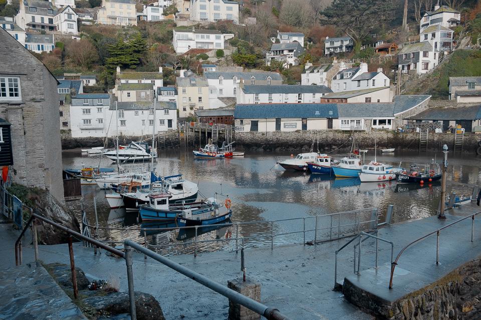 St Austell7 miles south west
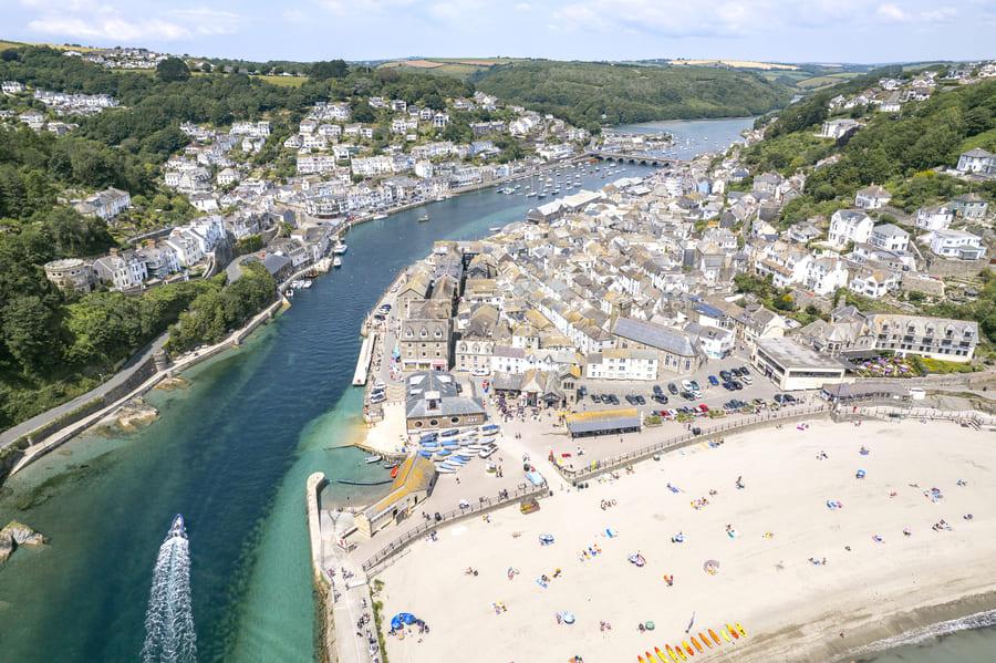 Looe10 miles east
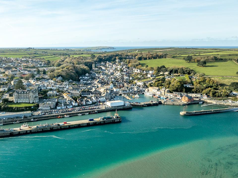 Padstow15 miles north west
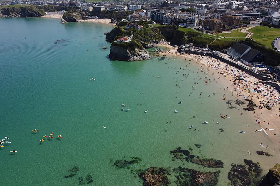 Newquay18 miles west
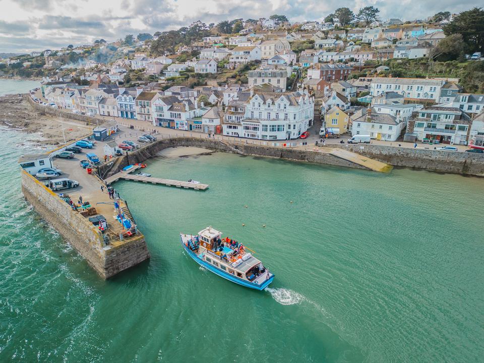 Truro20 miles south west
As the crow flies. Roads add a little.
Lostwithiel at a glance
- Region
- South East Cornwall
- Coast
- South Coast
- Grid reference
- SX 105 598
- Coordinates
- 50.4075, -4.6678
- what3words
- ///Open in what3words
- Nearest station
- Lostwithiel (in town)
- Nearest beach
- Par Sands Beach, 4 miles
Questions about getting around Lostwithiel
Where is Lostwithiel?
Lostwithiel is in South East Cornwall, on the south coast, 5 miles south east of Bodmin and 7 miles north east of St Austell.
How far is Lostwithiel from Bodmin?
About 5 miles as the crow flies, south east of Bodmin. By road it is a little further.
How far is Lostwithiel from Truro?
About 20 miles as the crow flies, north east of Truro, Cornwall's only city.
What is the nearest train station to Lostwithiel?
Lostwithiel has its own railway station.
What is the nearest beach to Lostwithiel?
Par Sands Beach, 4 miles away. Polkerris Beach is 5 miles away.
What is the grid reference for Lostwithiel?
SX 105 598 on the Ordnance Survey National Grid. In latitude and longitude it is 50.4075, -4.6678.
Frequently asked questions about Lostwithiel.
More about Lostwithiel
More on Lostwithiel
Town guideLostwithielRead the guide Beaches for LostwithielEvery beach near LostwithielOpen Tide times for LostwithielHigh and low water, 7 daysOpen Weather for LostwithielToday and the days aheadOpen Things to do for LostwithielWhat is near LostwithielOpen Distances for LostwithielMiles and drive timesOpen